Glarus · Switzerland
Klausenpass
17Glarus Süd to Unterschächen
A graceful old Swiss pass linking Glarus and Uri.
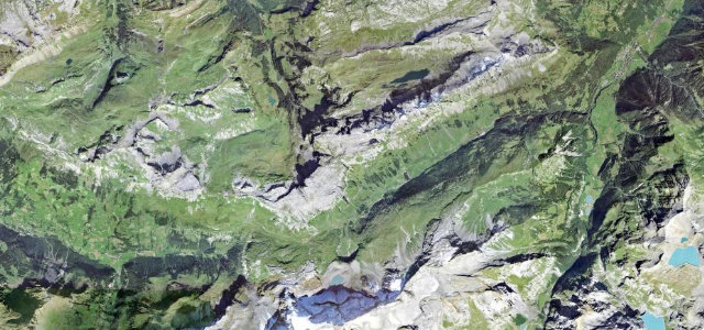
The Klausen Pass at 1,948 m winds between Linthal and the Schächental, a beautifully engineered old road past the long pastures of the Urnerboden, Switzerland’s largest alp. Flowing and historic; mind the cattle on the open road, the cyclists, and the cool, shaded northern descent.
Where it runs22.0 mi · point to point
Glarus SüdStart · Glarus
UnterschächenEnd · Glarus
Navigate to the start: Apple Maps · Google Maps
Character
Corners44bends
Tightness7of 10
Max gradient9%≈ 1-in-11
Hairpins21tight bends
Climb1,384 mtotal ascent
Summit1,958.6 mhighest point of the line · 6,426 ft
Corners
busiest around mile 12Elevation
under 4%4–8%over 8%659.3 – 1,958.6 mFrom the road
Points of interest3 stops
- KlausenpassViewpoint14 mi in
- BerglistüberLandmark2.3 mi in
- NiemerstafelbachfallLandmark15 mi in
Hazards
- Cattle on the open alp
- Cyclists on the climbs
- Cool, shaded descent
Sources
“Serpentine by serpentine the incredibly scenic drive pulls up in front of a beautiful mountain panorama”
Verified route: mapped from real road geometry and fact-checked by a human editor. How roads get checked
Driving the Klausenpass: quick answers
How long does it take to drive the Klausenpass?
Klausenpass runs 22.0 miles (35 km) and takes about 49 min to drive without stops.
How difficult is the Klausenpass to drive?
We rate it demanding: 44 corners including 21 hairpins, a maximum gradient of 9%, and a tightness of 7 out of 10.
When is the best time to drive the Klausenpass?
Summer and Autumn are best.
Nearby roads
The closest great drives to Klausenpass.
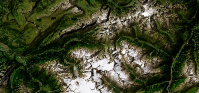
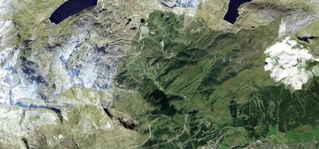
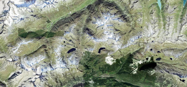
Klausenpass
DirectionsGet the app