Schwyz · Switzerland
Pragel Pass
Muotathal to Klontal
Steep, narrow link between Muotathal and the Klontal, gradients up to 18 percent.
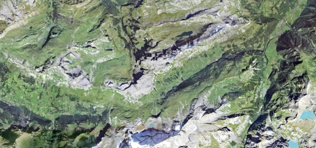
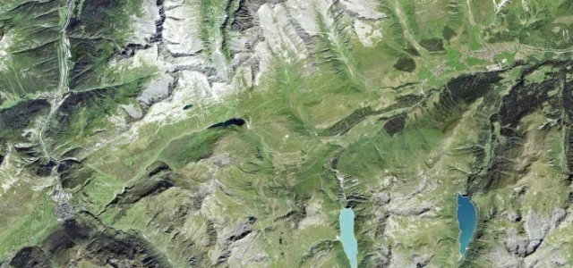
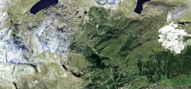
The Pragelpass is a tight, lightly trafficked road over a 1548 m col between Schwyz and Glarus, dropping into the serene Klontal valley with its lake. It is narrow and genuinely steep, hitting around 18 percent on the worst ramps, and runs roughly parallel to the busier Klausen Pass. The east side is closed to motor vehicles on weekends, so plan timing carefully. Mind the single-lane sections with awkward passing, the very steep pitches that punish brakes and clutch, and the weekend closure on the Glarus flank.
Where it runs10.1 mi · point to point
Navigate to the start: Apple Maps · Google Maps
Character
Steeper than 9 in 10 roads here in the catalogue.
Corners
busiest around mile 9Elevation
under 4%4–8%over 8%733.1 – 1,563.7 mPoints of interest2 stops
- Pragel PassViewpoint6.8 mi in
- Alpwirtschaft RoggenlochFood and drink5.2 mi in
Hazards
- Narrow single-lane sections
- 18 percent gradients
- Weekend east-side closure
See the typical season and live conditions for the high passes ›
Sources
“The road to the summit is fully paved but narrow and steep, reaching a maximum grade of 18 percent in some sections.”
Verified route: mapped from real road geometry and fact-checked by a human editor. How roads get checked
Driving the Pragel Pass: quick answers
How long does it take to drive the Pragel Pass?
How difficult is the Pragel Pass to drive?
When is the best time to drive the Pragel Pass?
Nearby roads
The closest great drives to Pragel Pass.