Day-trip range
Driving roads near Kutaisi
3 great driving roads within 100 miles of Kutaisi. The closest is Goderdzi Pass, 45 miles out. Distances are straight-line, so drive times will vary.
The roads, closest first
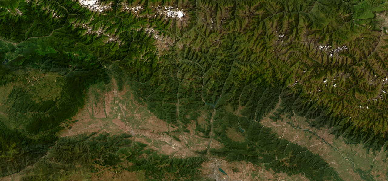 Georgian Military Highway84 mi · 2 h 47 min · 9 hairpinsView the roadbook ›
Near other cities
Driving near Kutaisi: common questions
What is the best driving road near Kutaisi?
Georgian Military Highway, about 98 miles from Kutaisi as the crow flies. The most iconic road in the Caucasus, climbing from the ancient capital Mtskheta over the 2,395 m Jvari Pass to the glacial valley below Georgia’s sacred Mount Kazbek.
How many great driving roads are within 100 miles of Kutaisi?
3 of the roads in our catalogue pass within 100 miles of Kutaisi, every one traced from OpenStreetMap.
What is the closest great driving road to Kutaisi?
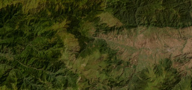
Goderdzi Pass, about 45 miles away. The hidden connector between subtropical Adjara and the fortress city of Akhaltsikhe, crossing a 2,025 m pass through beech forest, alpine meadow and volcanic plateau that almost nobody drives.