England · United Kingdom
Cragg Vale
B6138Mytholmroyd to Blackstone Edge
Reckoned England’s longest continuous ascent, a steady pull out of Mytholmroyd through woodland onto the open moor at Blackstone Edge. Cyclists arrive for the gradient; the Pennine weather at the top is anyone’s guess.
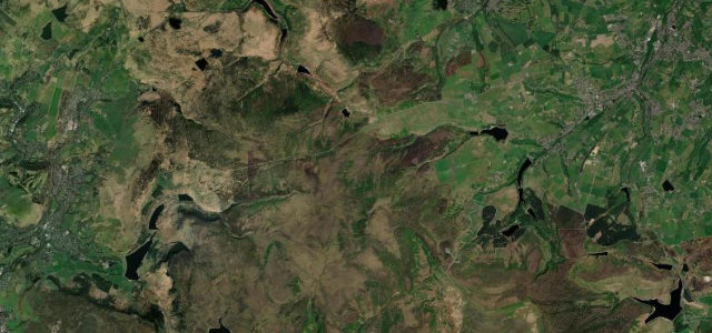
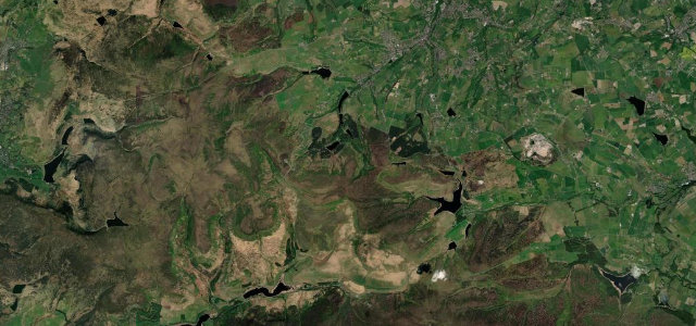
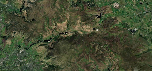
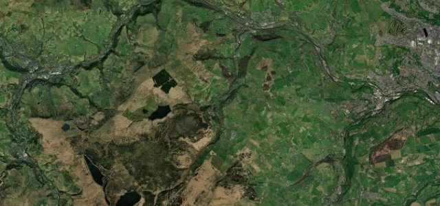
The B6138 climbs Cragg Vale from Mytholmroyd up onto Blackstone Edge, the heart of what is reckoned England’s longest continuous ascent. It is a steady, satisfying pull through woodland onto open moorland; expect cyclists drawn by the gradient and changeable Pennine weather at the top.
Where it runs3.9 mi · point to point
Navigate to the start: Apple Maps · Google Maps
Character
Corners
busiest around mile 1Elevation
under 4%4–8%over 8%91.5 – 320.2 mPoints of interest1 stop
- Mytholmroyd War MemorialLandmarkat the start
Hazards
- Many cyclists on the climb
- Exposed moor at the top
- Standing water
Sources
“It is arguably the longest continuous ascent in England, climbing 968 feet over 5.5 miles.”
Verified route: mapped from real road geometry and fact-checked by a human editor. How roads get checked
Driving the Cragg Vale: quick answers
How long does it take to drive the Cragg Vale?
How difficult is the Cragg Vale to drive?
When is the best time to drive the Cragg Vale?
Nearby roads
The closest great drives to Cragg Vale.