England · United Kingdom
Holme Moss
A6024Holmfirth to Woodhead
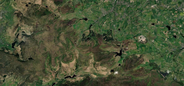
A celebrated Pennine climb over Holme Moss on the edge of the Peak District.
The A6024 climbs over Holme Moss between Holmfirth and the Woodhead, a famous cycling and driving ascent to a high, windswept summit with a landmark transmitter. The bends are inviting but exposed; respect the gradient and the riders.
Where it runs7.9 mi · point to point
HolmfirthStart · England
WoodheadEnd · England
Navigate to the start: Apple Maps · Google Maps
Character
Corners16bends
Tightness6of 10
Max gradient12%≈ 1-in-8
Hairpins2tight bends
Climb391 mtotal ascent
Summit524.7 mhighest point of the line · 1,721 ft
Corners
busiest around mile 1Elevation
under 4%4–8%over 8%153.3 – 524.7 mPoints of interest2 stops
- Holme MossViewpoint4.6 mi in
- Pikenaze HillViewpoint7.9 mi in
Hazards
- Exposed summit, wind and ice
- Many cyclists
- Sheep on the road
Sources
“The northern side in particular is one of England's best known bicycle ascents, and has acquired a reputation as among the country's more difficult climbs.”
Verified route: mapped from real road geometry and fact-checked by a human editor. How roads get checked
Driving the Holme Moss: quick answers
How long does it take to drive the Holme Moss?
Holme Moss runs 7.9 miles (12.7 km) and takes about 17 min to drive without stops.
How difficult is the Holme Moss to drive?
We rate it demanding: 16 corners including 2 hairpins, a maximum gradient of 12%, and a tightness of 6 out of 10.
When is the best time to drive the Holme Moss?
Spring and Summer and Autumn are best.
Nearby roads
The closest great drives to Holme Moss.
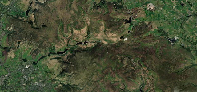
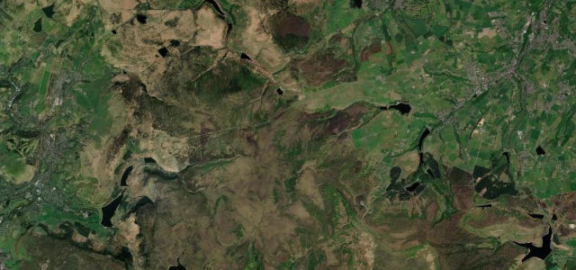
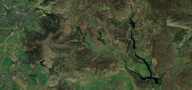
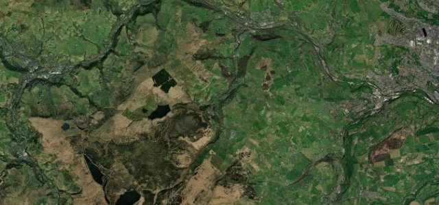
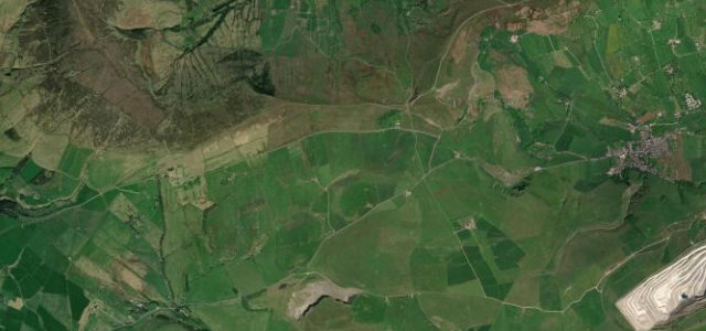
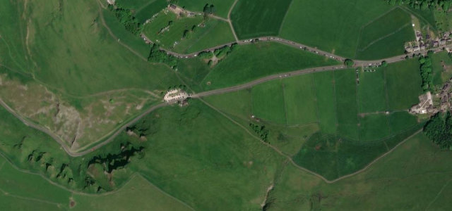
Holme Moss
DirectionsGet the app