England · United Kingdom
Winnats Pass
Castleton to Sparrowpit
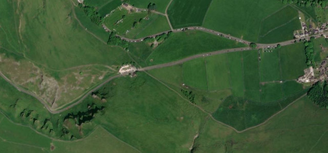
The name means wind gates, and the gorge earns it, funnelling the weather between limestone pinnacles as the road rears past 28 percent. Only 200 metres or so of climbing, but there’s no more theatrical stretch of tarmac in the Peak.
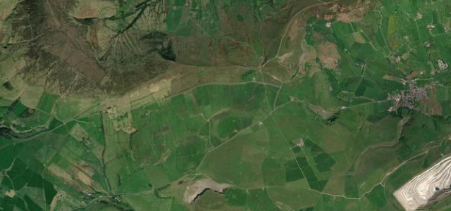
This steep road threads through a narrow limestone cleft west of Castleton in the Peak District, climbing roughly 200 metres past towering pinnacle ridges. The maximum gradient exceeds 28 percent and the gorge funnels strong winds, the source of its name from wind gates. Mind the steep gradient, weight and width restrictions and the heavy walker and tourist traffic at the foot.
Scenery
Best seasons
In these collections
In these guides
Where it runs0.7 mi · point to point
Navigate to the start: Apple Maps · Google Maps
Character
Steeper than 9 in 10 roads here in the catalogue.
Elevation
under 4%4–8%over 8%196.8 – 337.9 mPoints of interest3 stops
- Speedwell CavernLandmark0.5 mi in
- Devil’s Arse (Peak Cavern)Landmarkat the start
- Treak Cliff CavernLandmark0.5 mi in
Hazards
- Gradient over 28 percent
- Width and weight restrictions
- Heavy pedestrian traffic at base
Sources
“The road winds through a cleft, surrounded by high limestone ridges.”
Verified route: mapped from real road geometry and fact-checked by a human editor. How roads get checked
Driving the Winnats Pass: quick answers
How long does it take to drive the Winnats Pass?
How difficult is the Winnats Pass to drive?
When is the best time to drive the Winnats Pass?
Nearby roads
The closest great drives to Winnats Pass.