England · United Kingdom
Long Hill
A5004Buxton to Whaley Bridge
A swooping moorland road between Buxton and Whaley Bridge.
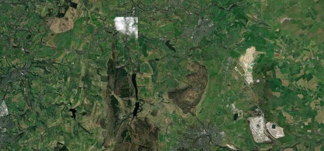
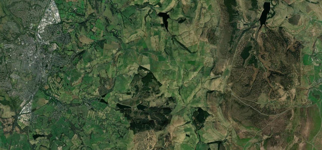
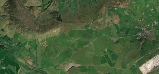
The A5004 'Long Hill' climbs out of Buxton and swoops down to Whaley Bridge across high moorland on the edge of the Peak District, with long views over the Goyt valley. It is a flowing, undulating road; mind the gradients, the cyclists and the quick weather changes near the top.
Where it runs7.1 mi · point to point
BuxtonStart · England
Whaley BridgeEnd · England
Navigate to the start: Apple Maps · Google Maps
Character
Corners20bends
Tightness4of 10
Max gradient9%≈ 1-in-11
Descent279 mtotal descent
Summit429.7 mhighest point of the line · 1,410 ft
Corners
busiest around mile 3Elevation
under 4%4–8%over 8%162.5 – 429.7 mPoints of interest2 stops
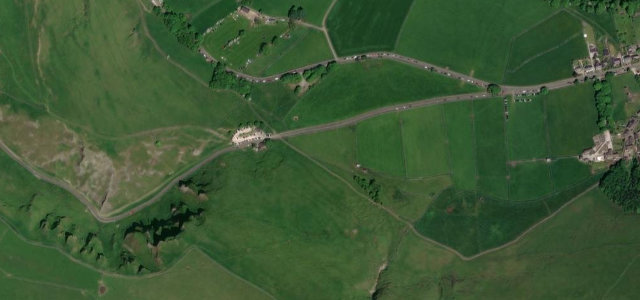
- Corbar HillViewpoint0.5 mi in
- Combs Head – North West TopViewpoint2.3 mi in
Hazards
- Steep gradients
- Cyclists
- Exposed to weather near the top
Sources
“particularly attractive to motorcyclists because of the frequency and severity of the bends”
Verified route: mapped from real road geometry and fact-checked by a human editor. How roads get checked
Driving the Long Hill: quick answers
How long does it take to drive the Long Hill?
Long Hill runs 7.1 miles (11.4 km) and takes about 14 min to drive without stops.
How difficult is the Long Hill to drive?
We rate it moderate: 20 corners, a maximum gradient of 9%, and a tightness of 4 out of 10.
When is the best time to drive the Long Hill?
Spring and Summer and Autumn are best.
Nearby roads
The closest great drives to Long Hill.
Long Hill
DirectionsGet the app