England · United Kingdom
Snake Pass
A57Glossop to Ladybower
The A57 traverses the high Pennine moors between Manchester and the Hope Valley.
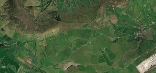
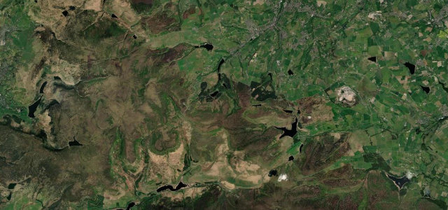
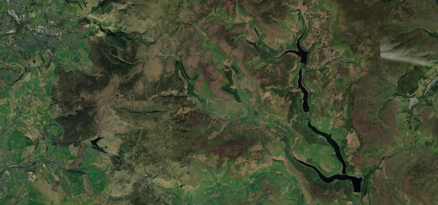
The A57 Snake Pass crosses the exposed gritstone moorland of the Peak District, a remote and atmospheric run that is regularly among the first roads closed by snow or landslip. Long curves climb to the watershed before the descent toward Ladybower reservoir. Fog, standing water and cyclists are all common, so it rewards patience and a wary eye on the weather.
The Pennines' great serpentine, writhing over the Peak District watershed. Moody, weather-beaten and rightly named.
Why we picked it
Where it runs14.7 mi · point to point
Navigate to the start: Apple Maps · Google Maps
Character
Corners
busiest around mile 1Elevation
under 4%4–8%over 8%150.6 – 511.6 mPoints of interest1 stop
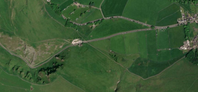
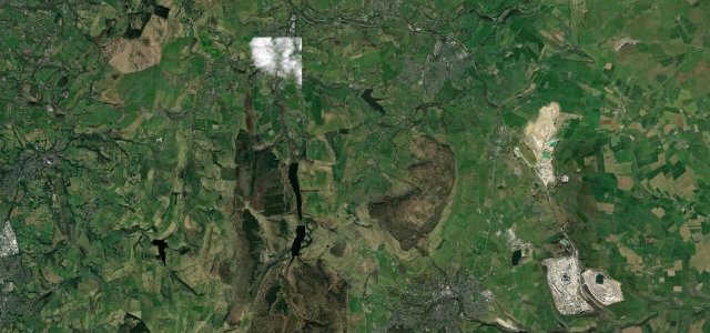
- Snake Pass summitThe watershed of the Pennines.5.2 mi in
Hazards
- High moorland, closes in snow
- Fog and standing water
- Cyclists
See the typical season and live conditions for the high passes ›
Sources
“Snake Pass is one of the best drives in the UK”
Verified route: mapped from real road geometry and fact-checked by a human editor. How roads get checked
Driving the Snake Pass: quick answers
How long does it take to drive the Snake Pass?
How difficult is the Snake Pass to drive?
When is the best time to drive the Snake Pass?
Nearby roads
The closest great drives to Snake Pass.