England · United Kingdom
Hope Valley
A6187Hathersage to Castleton
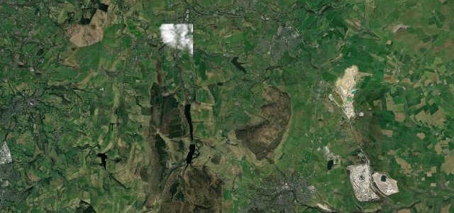
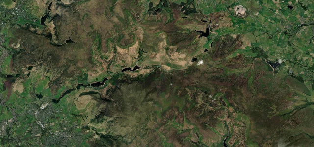
The Peak District road beneath Mam Tor and the Great Ridge.
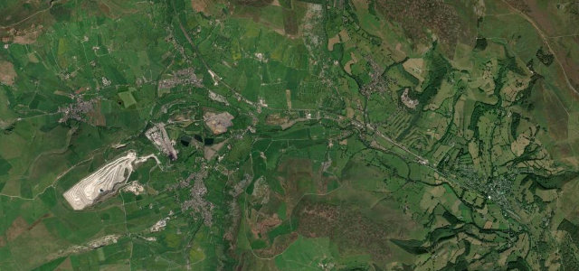
The A6187 runs through the Hope Valley below Mam Tor and the Great Ridge, linking Hathersage and Castleton in the heart of the Peak District. Walkers, cavers and climbers fill it at weekends, so it rewards a calm, unhurried drive.
Mam Tor and the Great Ridge stand over every mile like a stage set. We invent excuses to be here early on quiet mornings, before the whole world arrives with its walking boots.
Why we picked it
Where it runs5.9 mi · point to point
HathersageStart · England
CastletonEnd · England
Navigate to the start: Apple Maps · Google Maps
Character
Corners14bends
Tightness5of 10
Max gradient9%≈ 1-in-11
Climb44 mtotal ascent
Summit190.1 mhighest point of the line · 624 ft
Corners
busiest around mile 6Elevation
under 4%4–8%over 8%145.8 – 190.1 mPoints of interest1 stop
- Navio Roman FortLandmark3.5 mi in
Hazards
- Busy with walkers and parked cars
- Tight village sections
- Cyclists
Sources
“takes a tight curve at Surprise View where the traveller will be greeted with a view of Hope Valley”
Verified route: mapped from real road geometry and fact-checked by a human editor. How roads get checked
Driving the Hope Valley: quick answers
How long does it take to drive the Hope Valley?
Hope Valley runs 5.9 miles (9.5 km) and takes about 12 min to drive without stops.
How difficult is the Hope Valley to drive?
We rate it moderate: 14 corners, a maximum gradient of 9%, and a tightness of 5 out of 10.
When is the best time to drive the Hope Valley?
Spring and Summer and Autumn are best.
Nearby roads
The closest great drives to Hope Valley.
Hope Valley
DirectionsGet the app