England · United Kingdom
Cat and Fiddle
A537Macclesfield to Buxton
A celebrated moorland road climbing past one of England’s loftiest old coaching inns.
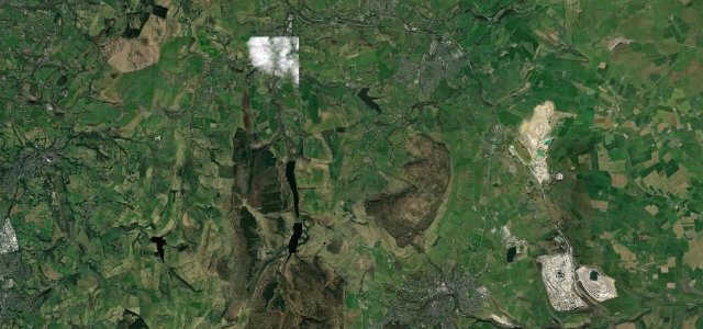
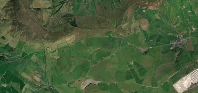
The A537 between Macclesfield and Buxton rises across open moorland past the Cat and Fiddle, long one of the highest inns in England. Its sequence of bends and big views has made it famous, and also given it a serious accident history, so it is a road to enjoy well within the limits and the speed restrictions that now apply. Exposed weather can arrive fast at this altitude.
Britain’s most storied moorland road, bending past the second-highest inn in England between Buxton and Macclesfield. Bleak, brilliant and never dull.
Why we picked it
Where it runs8.5 mi · point to point
Navigate to the start: Apple Maps · Google Maps
Character
Corners
busiest around mile 5Elevation
under 4%4–8%over 8%130.8 – 514.6 mPoints of interest3 stops
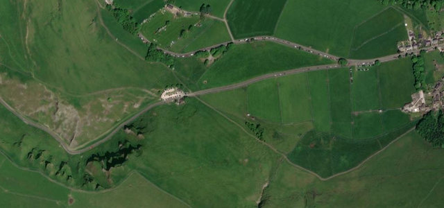
- Cat and Fiddle InnFormer inn at one of England's highest pub sites.6.8 mi in
- Shining TorViewpoint5.5 mi in
- Macclesfield War MemorialLandmarkat the start
Hazards
- Serious accident record, drive within the limits
- Exposed moorland weather
- Tight bends near the summit
Sources
“the Cat and Fiddle is a road of mythical proportions”
Verified route: mapped from real road geometry and fact-checked by a human editor. How roads get checked
Driving the Cat and Fiddle: quick answers
How long does it take to drive the Cat and Fiddle?
How difficult is the Cat and Fiddle to drive?
When is the best time to drive the Cat and Fiddle?
Nearby roads
The closest great drives to Cat and Fiddle.