Eastern Carpathians · Romania
Cheile Bicazului
DN12CLacu Roșu to Bicaz-Chei
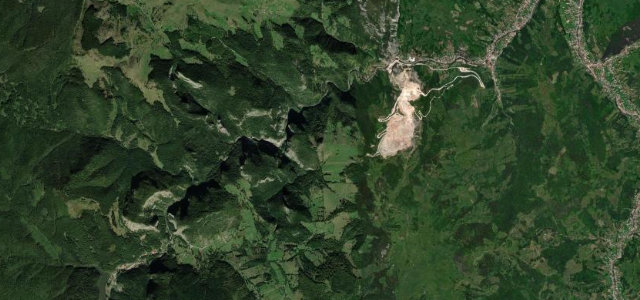
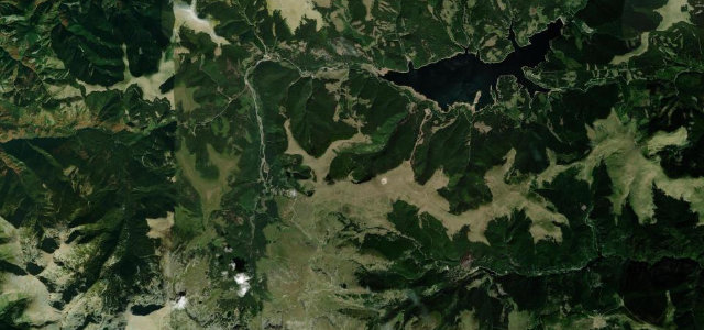
One of Romania’s most dramatic corridors: eight kilometres of sheer 300 m limestone walls pinching to a single lane through the Gâtul Iadului, the Neck of Hell, before the red-tinged Red Lake.
From Lacu Roșu the DN12C enters the Cheile Bicazului canyon, carving through limestone cliffs that rise vertically from the road edge. A tunnel pierces the tightest headwall and at the Neck of Hell the overhanging rock narrows the sky to a slit; hairpins and bridges negotiate the canyon floor before it relaxes at Bicaz-Chei. Roadside bazaars add atmosphere and pedestrians.
Scenery
Where it runs
Navigate to the start: Apple Maps · Google Maps
Character
Elevation
under 4%4–8%over 8%654 – 1,336 mHazards
- very narrow carriageway
- overhanging rock faces
- tunnels with limited clearance
- pedestrians and market stalls in the gorge
- rockfall risk
Sources: Road geometry © OpenStreetMap contributors
Nearby roads
The closest great drives to Cheile Bicazului.