Caraș-Severin (Banat) · Romania
TransSemenic
DJ582Reșița to Slatina-Timiș
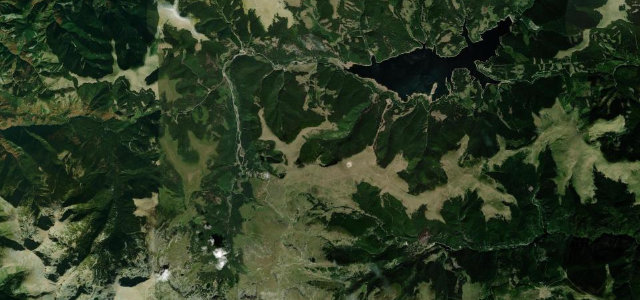
Banat’s answer to the Transalpina: a 58 km mountain road (DJ582) through Semenic-Cheile Carasului National Park linking Reșița to Slatina-Timiș via the resort villages of Văliug, Gărâna and Brebu Nou, peaking around 1,000 m through dense Carpathian forest.
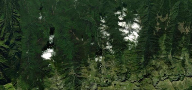
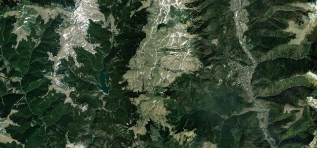
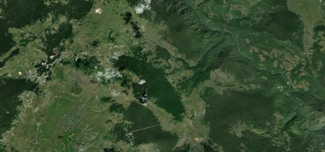
DJ582, known locally as TransSemenic or 'Banat’s Transalpina', was fully paved in 2014 and threads 58 km east-west across the Semenic Mountains inside a national park that spans some of the most intact beech forests in the Southern Carpathians. The road passes the glacial Gozna and Trei Ape lakes and the distinctly Central-European village of Gărâna — home to a well-known jazz festival — before descending steeply via hairpin bends toward Reșița on the western side. Traffic is light compared to the more famous Trans- roads, making for an unhurried mountain drive.
Scenery
Where it runs
Navigate to the start: Apple Maps · Google Maps
Character
Elevation
under 4%4–8%over 8%235 – 982 mHazards
- potholes and surface breaks especially after winter
- fallen trees and landslide debris on the carriageway
- road closes during heavy snowfall
- sections with no barriers on steep drops
See the typical season and live conditions for the high passes ›
Sources: Road geometry © OpenStreetMap contributors
Nearby roads
The closest great drives to TransSemenic.