Eastern Serbia · Serbia
Đerdap Danube Gorge Road
34Golubac to Kladovo
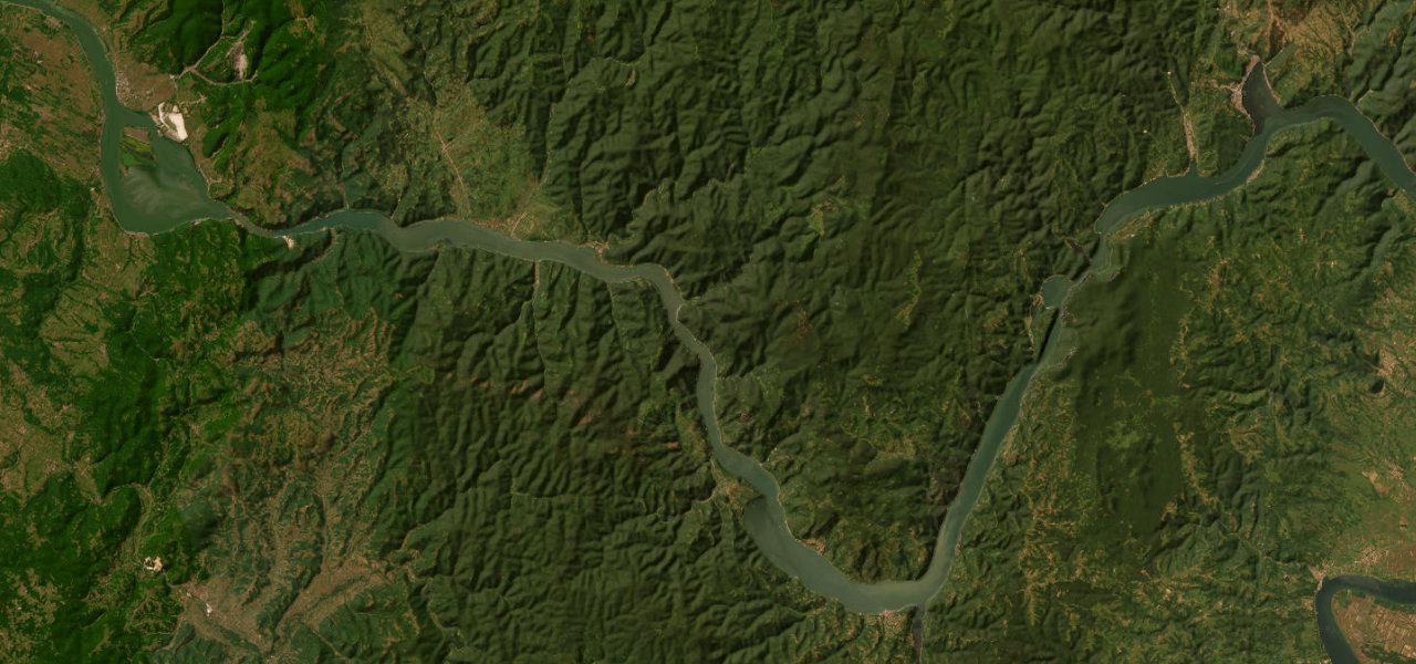
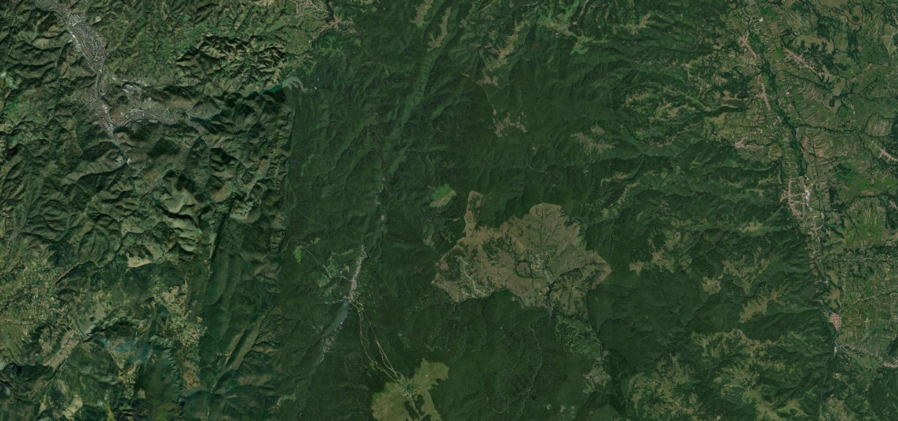
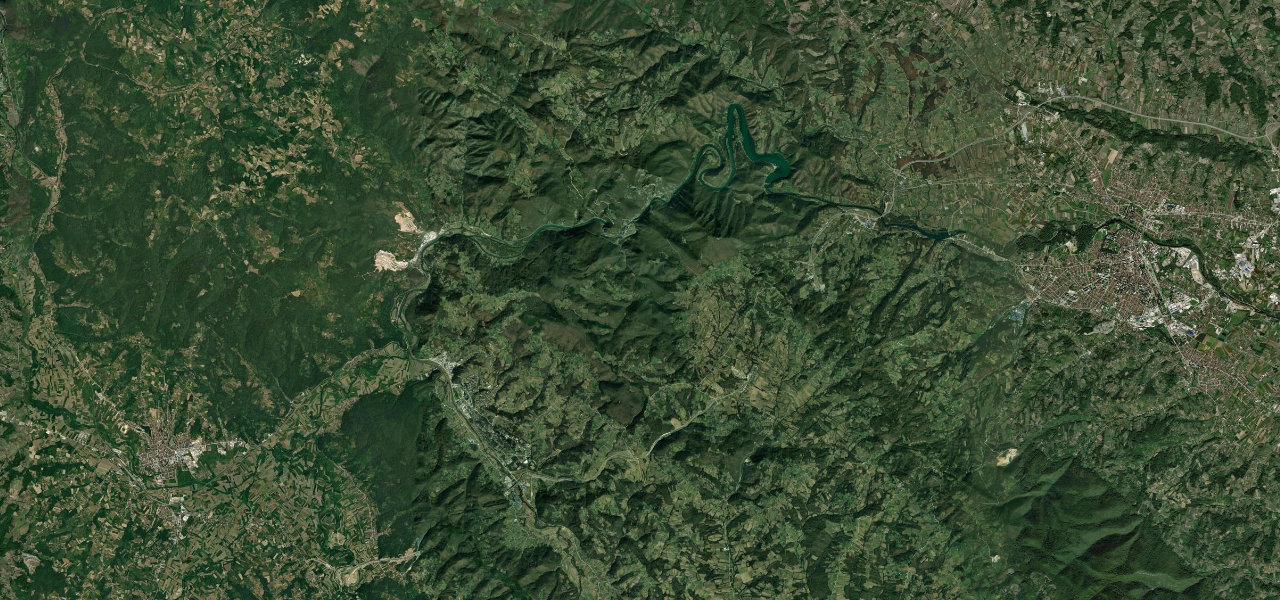
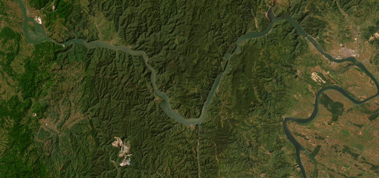
Europe’s longest and deepest river gorge runs 100 km along the Serbian Danube from the medieval Golubac Fortress to the Iron Gate dam, the road hugging the river through forested mountains, cliffs towering 300 m where the river narrows to 150 m.
The drive begins at Golubac Fortress rising from the Danube and enters Đerdap National Park, dipping through tunnels and tracing cliff shelves as the gorge narrows in stages; at Mali and Veliki Kazan depths reach 90 m and the Romanian cliffs feel close, past the 7,000-year-old Lepenski Vir to the Iron Gate dam, the Decebalus rock sculpture visible across the river.
Scenery
Where it runs
Navigate to the start: Apple Maps · Google Maps
Character
Elevation
under 4%4–8%over 8%38 – 493 mHazards
- rock slides possible in gorge sections
- road damage after heavy rain
- long tunnel sections
Sources: Road geometry © OpenStreetMap contributors
Nearby roads
The closest great drives to Đerdap Danube Gorge Road.