Suceava · Romania
Transrarău
DJ175ADJ175BPojorâta to Chiril
Bucovina’s quieter alpine traverse over the Rarău massif.
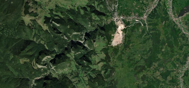
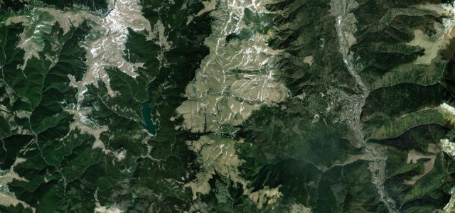
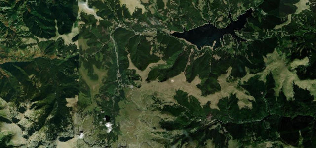
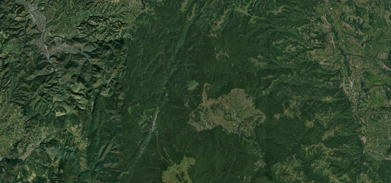
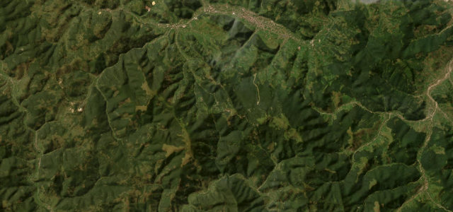
Often called Romania’s third great mountain road after the Transfăgărășan and Transalpina, the Transrarău links Pojorata in the Moldova valley with Chiril above the Bistrița, climbing the Rarău massif on county roads DJ175A and DJ175B. It tops out around 1,400 m near the Rarău chalet and the jagged Pietrele Doamnei (the Lady’s Stones), with fir forest giving way to alpine meadow at the saddle. The asphalt was widened and resurfaced in 2014, so the surface is generally good, but the road stays narrow with tight, sometimes blind hairpins and short steep ramps on either flank. It is far less trafficked than its famous siblings, which is much of its appeal. Mind sudden fog on the upper saddle, loose gravel washed onto bends after rain, and snow closure outside the warmer months.
Where it runs16.1 mi · point to point
Navigate to the start: Apple Maps · Google Maps
Character
Corners
busiest around mile 10Elevation
under 4%4–8%over 8%693.3 – 1,463.8 mPoints of interest3 stops
- Șaua Poiana ȘoimuluiViewpoint6.8 mi in
- Șaua Fundu ColbuluiViewpoint8.7 mi in
- MuncelulViewpoint7.1 mi in
Hazards
- Sudden fog on the upper saddle
- Loose gravel on bends after rain
- Snow closure outside summer and autumn
Is Transrarău open? Typical season and live summit weather ›
Sources
“Set high on the northeastern part of the country, the drive, known as 'The Treasures Road', is said to be the third most beautiful Alpine road in the country.”
Verified route: mapped from real road geometry and fact-checked by a human editor. How roads get checked
Driving the Transrarău: quick answers
How long does it take to drive the Transrarău?
How difficult is the Transrarău to drive?
When is the best time to drive the Transrarău?
Nearby roads
The closest great drives to Transrarău.