Mátra · Hungary
Kékestető Summit Road
24Gyöngyös to Kékestető
Distance11.5 mi19 km
Drive time24 minon the road
DifficultyModeratetightness 6 of 10
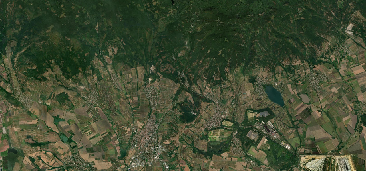
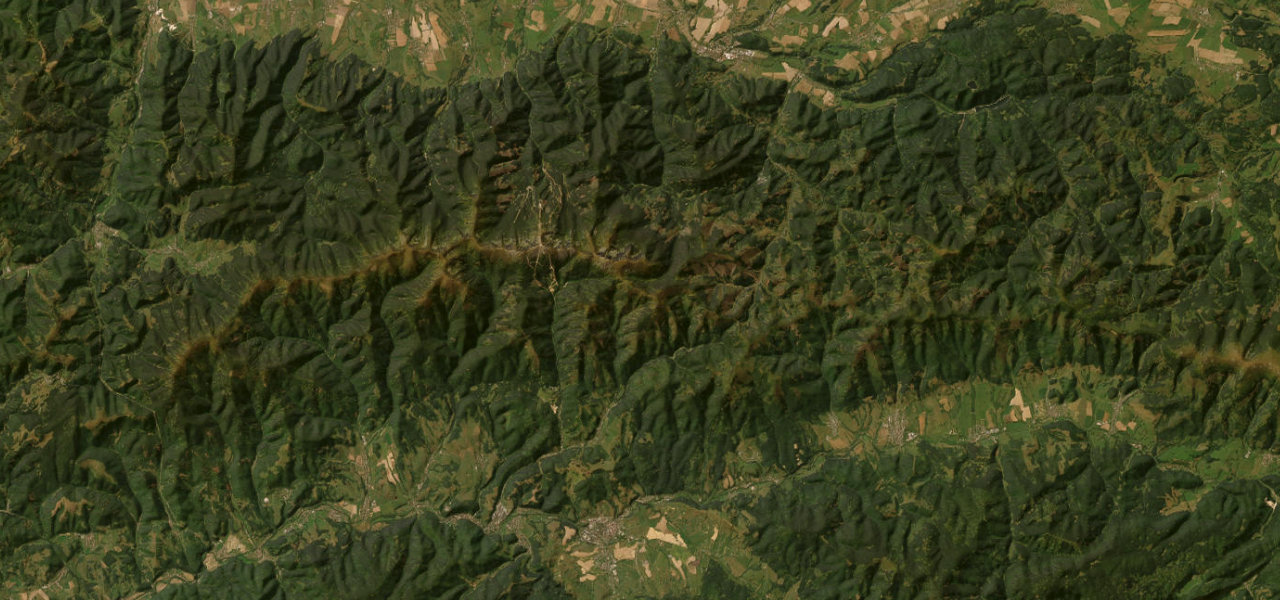
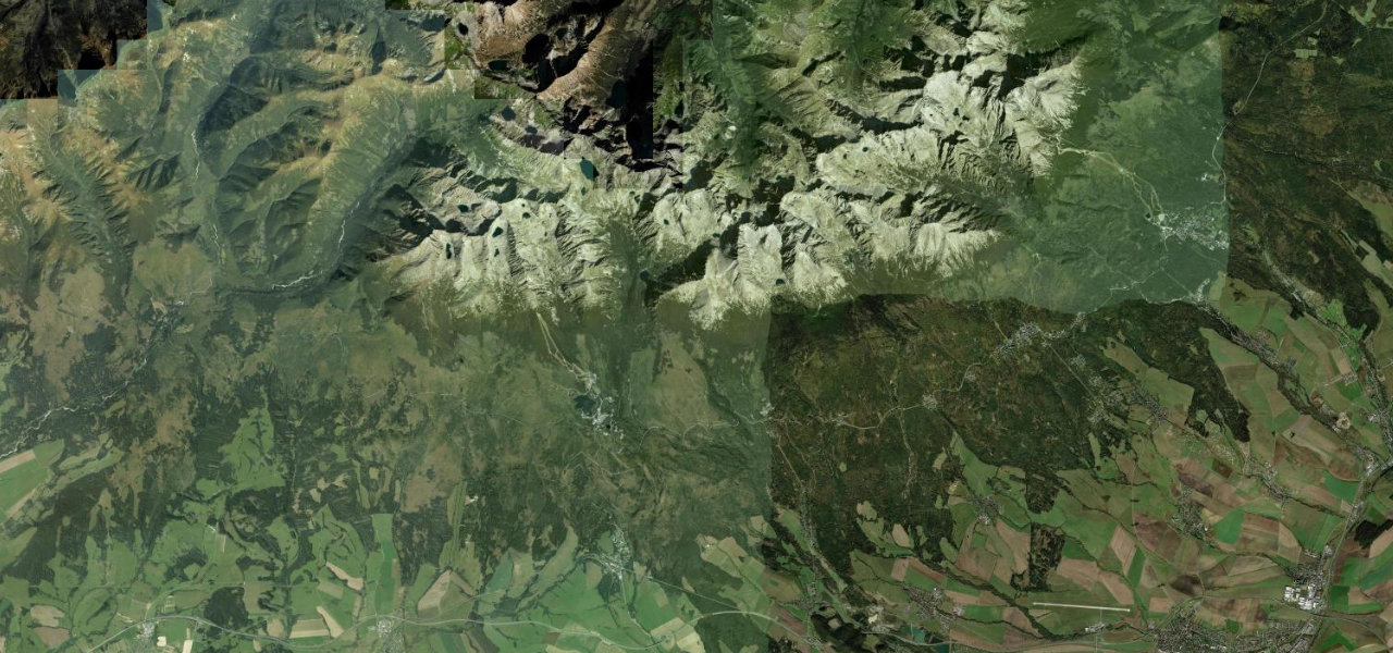
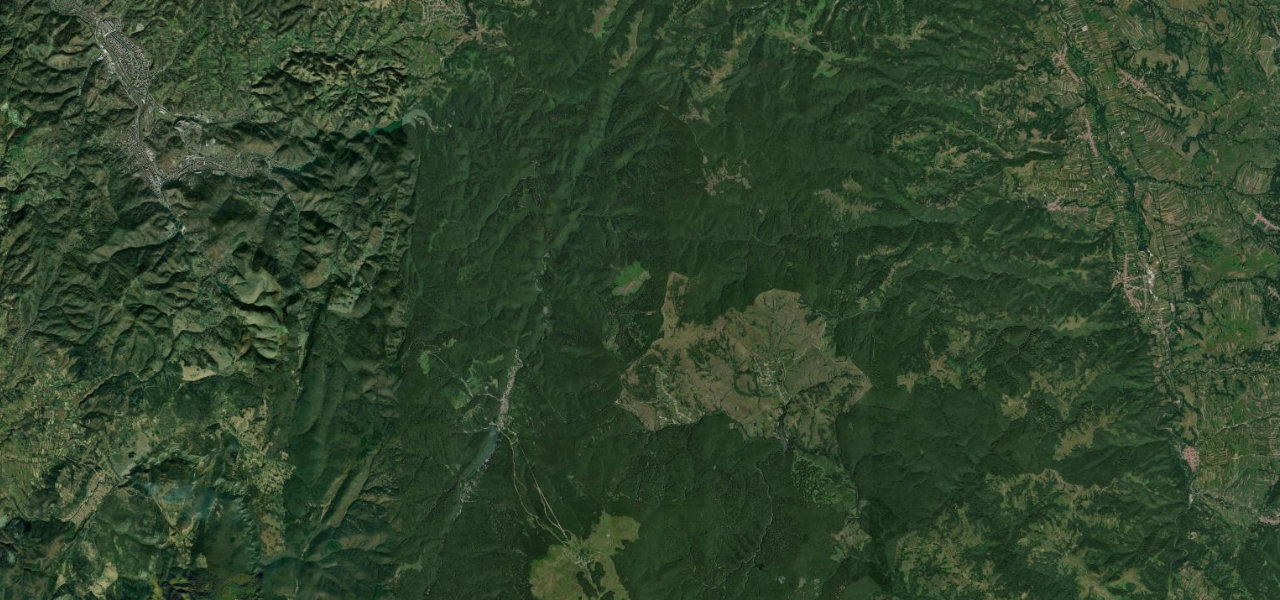
Hungary’s highest road climbs 841 m from the wine-town of Gyöngyös to the 1,014 m summit of Kékestető through 18 km of dense Mátra forest, the definitive mountain drive in a country with few high roads.
From Gyöngyös the road leaves the Great Plain abruptly into oak and beech woodland on road 24, climbing through the spa village of Mátrafüred and the resort of Mátraháza where the number changes to 24134 for the final 3.9 km spur, steepening to 11% before the TV-tower summit. The descent reveals the contrast with the flat Pannonian Plain.
Where it runs
GyöngyösStart · Mátra
KékestetőEnd · Mátra
Navigate to the start: Apple Maps · Google Maps
Character
Corners46bends
Tightness6of 10
Max gradient11%≈ 1-in-9
Hairpins3tight bends
Climb835 mtotal ascent
Summit1,001 mhighest point of the line · 3,284 ft
Elevation
under 4%4–8%over 8%159 – 1,001 mPoints of interest
- Régi kilátóViewpoint
- Sástó kilátóViewpoint
- Muzsla kilátóViewpoint
Hazards
- Steep summit spur reaching 11% maximum gradient on the final 3.9 km
- Heavy weekend cyclist traffic sharing the road
- Narrow carriageway on the spur approaching the summit
- Ice and frost on upper sections in autumn and winter
Sources: Road geometry © OpenStreetMap contributors
Nearby roads
The closest great drives to Kékestető Summit Road.
Kékestető Summit Road
Directions