High Tatras · Slovakia
Cesta Slobody
537Podbanské to Tatranská Kotlina
Distance22.7 mi37 km
Drive time43 minon the road
DifficultyEasytightness 4 of 10
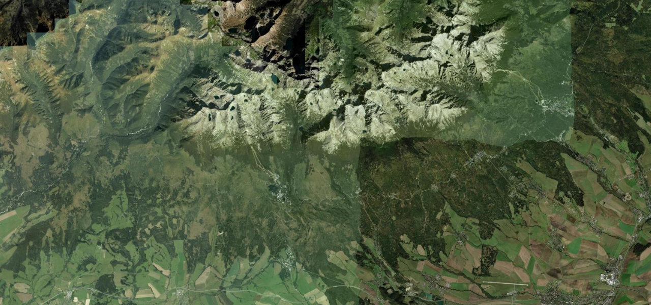
The Freedom Road runs 62 km along the southern foot of the High Tatras, threading a string of belle-époque resort villages beneath Slovakia’s highest peaks, freshly resurfaced.
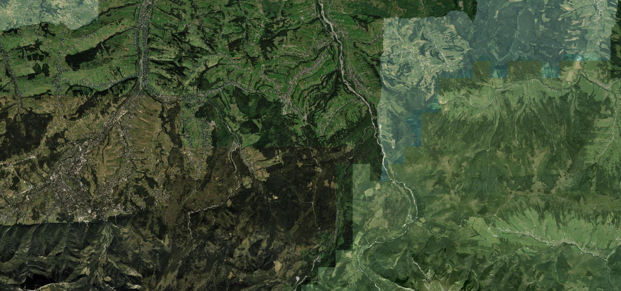
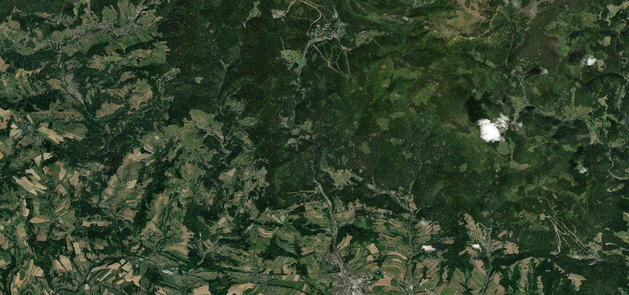
Road 537 begins at Podbanské in the western Tatras and follows the mountain foot eastward through Štrbské Pleso at 1,346 m, then Starý Smokovec and Tatranská Lomnica before ending at Tatranská Kotlina. The 2,500 m granite walls of the High Tatras form a constant skyline to the north, the narrow-gauge Tatra railway sharing the corridor.
Scenery
MountainForestLakes
Where it runs
PodbanskéStart · High Tatras
Tatranská KotlinaEnd · High Tatras
Navigate to the start: Apple Maps · Google Maps
Character
Corners22bends
Tightness4of 10
Max gradient8%≈ 1-in-13
Climb355 mtotal ascent
Summit1,269 mhighest point of the line · 4,163 ft
Elevation
under 4%4–8%over 8%845 – 1,269 mPoints of interest
- Rozhľadňa Monte MóryViewpoint
- Pamätník hrdinom – letcom SNPLandmark
- Za celoživotné dielo v prospech Vysokých TatierLandmark
Hazards
- Pedestrians crossing between resort villages in summer and ski season
- Wildlife crossings throughout the national park corridor
- Icy road surface in winter due to persistent mountain shadow
- Congestion at Štrbské Pleso and Starý Smokovec in peak holidays
Sources: Road geometry © OpenStreetMap contributors
Nearby roads
The closest great drives to Cesta Slobody.
Cesta Slobody
Directions