Low Tatras · Slovakia
Čertovica Pass
72Podbrezová to Kráľová Lehota
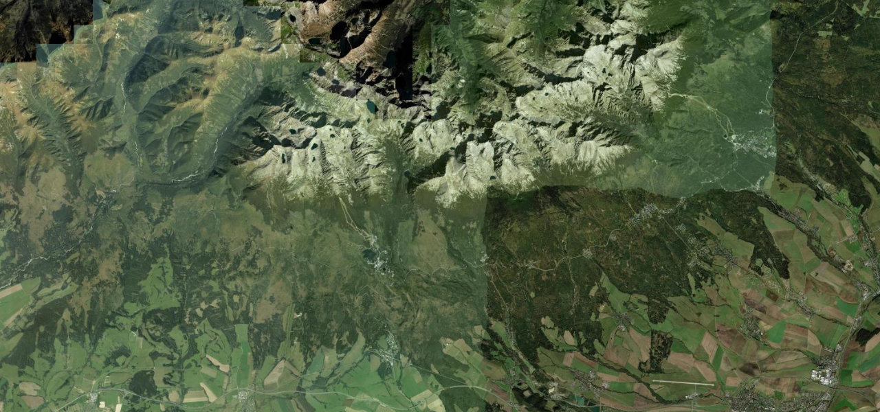
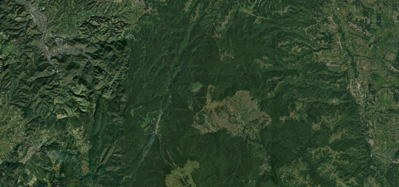
Slovakia’s highest paved mountain pass at 1,232 m, crossing the Low Tatras on a well-surfaced two-lane road with views of the Ďumbier and Kriváň peaks and lighter traffic than the parallel trunk.
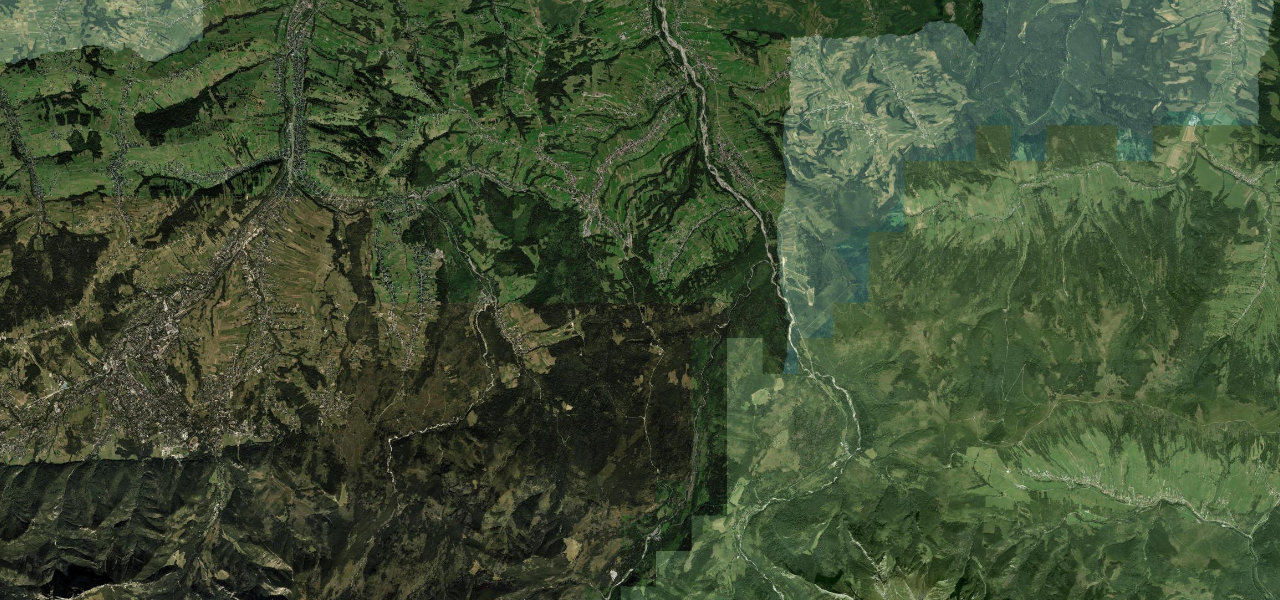
Road 72 climbs south-to-north from the Hron valley at Podbrezová through Nižná Boca before the serious ascent twists up through spruce forest to the Čertovica summit (1,232 m), where a ski resort sits at the col. The descent toward Kráľová Lehota drops through alpine meadows with the Liptov basin and the High Tatras opening ahead.
Scenery
Where it runs
Navigate to the start: Apple Maps · Google Maps
Character
Elevation
under 4%4–8%over 8%477 – 1,262 mPoints of interest
- ČertovicaViewpoint
- Krajčov vrchViewpoint
- sv. FloriánLandmark
Hazards
- Steep ramps reaching 9% gradient require careful braking
- Temporary winter closures possible during severe weather
- Summit weekend traffic from ski-resort visitors
- Ice and compacted snow on shaded sections in cold months
See the typical season and live conditions for the high passes ›
Sources: Road geometry © OpenStreetMap contributors
Nearby roads
The closest great drives to Čertovica Pass.