Tatra Mountains · Poland
Łysa Polana Tatra Road
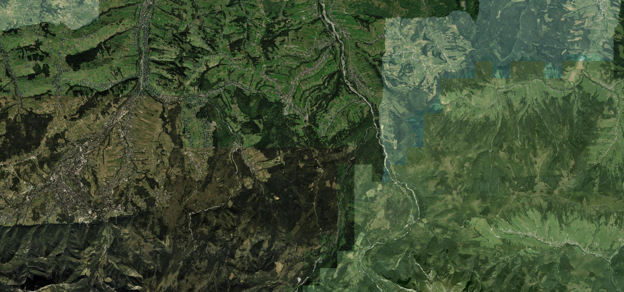
DW960Czarna Góra to Łysa Polana
Distance8.0 mi12.9 km
Drive time15 minon the road
DifficultyEasytightness 4 of 10
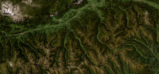
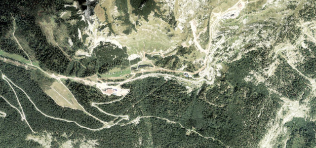
Poland’s highest public road open to cars, cresting at 1,141 m on its run to the Łysa Polana border meadow, threading Tatra National Park with unbroken views of the High Tatra peaks.
From Czarna Góra the road heads south through Bukowina Tatrzańska into Tatra National Park, flanked by spruce and fir with the Rysy massif filling the windscreen. It climbs through sweeping curves to its 1,141 m high point before descending to the Łysa Polana meadow at the Slovak border, gateway for the Morskie Oko lake trail.
Scenery
MountainForestValleyLakes
Where it runs
Czarna GóraStart · Tatra Mountains
Łysa PolanaEnd · Tatra Mountains
Navigate to the start: Apple Maps · Google Maps
Character
Corners9bends
Tightness4of 10
Max gradient8%≈ 1-in-13
Hairpins2tight bends
Climb445 mtotal ascent
Summit1,139 mhighest point of the line · 3,737 ft
Elevation
under 4%4–8%over 8%747 – 1,139 mHazards
- heavy tourist traffic in summer
- snow and ice October to April
- pedestrians and horse carriages near the Morskie Oko trailhead
- wildlife in Tatra National Park
Sources: Road geometry © OpenStreetMap contributors
Nearby roads
The closest great drives to Łysa Polana Tatra Road.
Łysa Polana Tatra Road
Directions