Auvergne-Rhône-Alpes · France
Combe Laval
D76Saint-Jean-en-Royans to Saint-Laurent-en-Royans
Vertiginous balcony road blasted into a Vercors cirque cliff face.
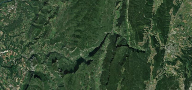
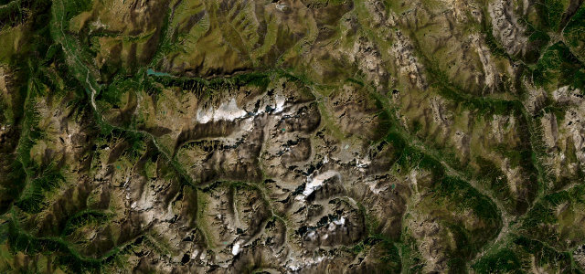
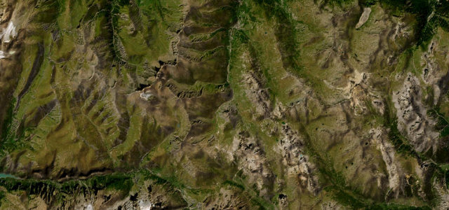
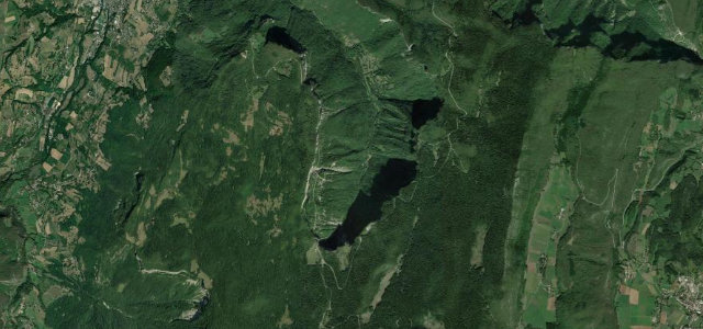
The D76 above Saint-Jean-en-Royans includes the Combe Laval section, a balcony road cut directly into the vertical cliffs of a deep Vercors cirque and passing through several short rock tunnels. Built from the 1860s for forestry, it runs high above the Royans toward the Col de la Machine with sheer drops on the open side. The carriageway is narrow with low unlit tunnels and minimal parapet, and snow can block it in winter.
Where it runs6.7 mi · point to point
Navigate to the start: Apple Maps · Google Maps
Character
Corners
busiest around mile 1Elevation
under 4%4–8%over 8%787.6 – 1,101.7 mFrom the road
Points of interest2 stops
- Combe lavalViewpoint3.1 mi in
- Col de la MachineViewpoint3.5 mi in
Hazards
- Cliff-edge balcony with sheer unguarded drops
- Narrow unlit rock tunnels
- Falling rock and winter snow closure
See the typical season and live conditions for the high passes ›
Sources
“Sometimes underground, sometimes aerial, the road offers many breathtaking panoramic viewpoints.”
Verified route: mapped from real road geometry and fact-checked by a human editor. How roads get checked
Driving the Combe Laval: quick answers
How long does it take to drive the Combe Laval?
How difficult is the Combe Laval to drive?
When is the best time to drive the Combe Laval?
Nearby roads
The closest great drives to Combe Laval.