Isère · France
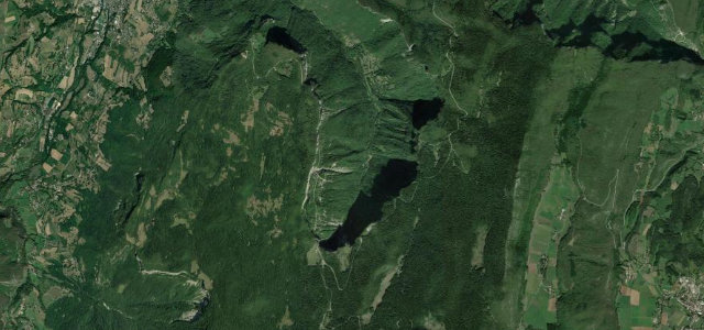
Gorges de la Bourne
D531Pont-en-Royans to Villard-de-Lans
A 19th-century balcony road carved into the cliffs of the Vercors gorges.
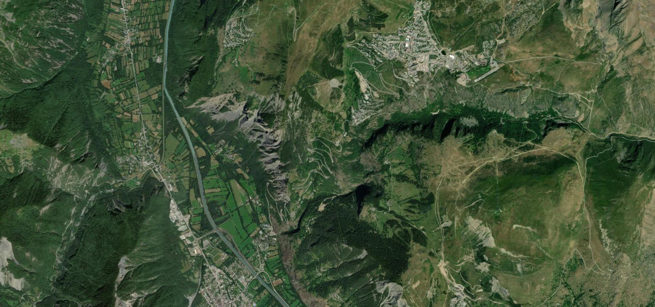
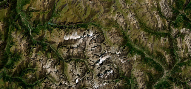
The D531 runs east from Pont-en-Royans up the Gorges de la Bourne toward Villard-de-Lans, scooped out of vertical limestone walls that rise hundreds of metres above the river. Past Choranche the road tucks under huge overhangs and through short tunnels, with the Goule Noire bridge marking the wildest stretch. It is a Michelin three-star route, tight and committing rather than fast. Mind the unlit tunnels, overhangs that catch tall vehicles, and rockfall onto a road with little room to swerve.
Where it runs15.2 mi · point to point
Navigate to the start: Apple Maps · Google Maps
Character
Corners
busiest around mile 14Elevation
approximateunder 4%4–8%over 8%204.5 – 1,025.9 mFrom the road
Points of interest3 stops
- Les Maisons suspenduesLandmark0.7 mi in
- Monument aux Jeux olympiques d’hiver de 1968Landmark15 mi in
- Belvedere du RancViewpoint5.8 mi in
Hazards
- Low rock overhangs
- Unlit narrow tunnels
- Rockfall onto the carriageway
Sources
“The drive is very challenging, with narrow parts, unlit tunnels, and countless turns.”
Verified route: mapped from real road geometry and fact-checked by a human editor. How roads get checked
Driving the Gorges de la Bourne: quick answers
How long does it take to drive the Gorges de la Bourne?
How difficult is the Gorges de la Bourne to drive?
When is the best time to drive the Gorges de la Bourne?
Nearby roads
The closest great drives to Gorges de la Bourne.