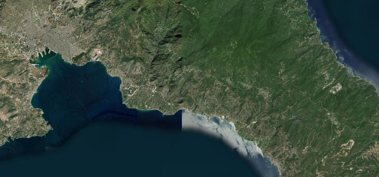
Rethymno, Crete · Greece
Kourtaliotiko Gorge Road
Koxare to Asomatos
Distance4.0 mi6.4 km
Drive time8 minon the road
DifficultyEasytightness 6 of 10
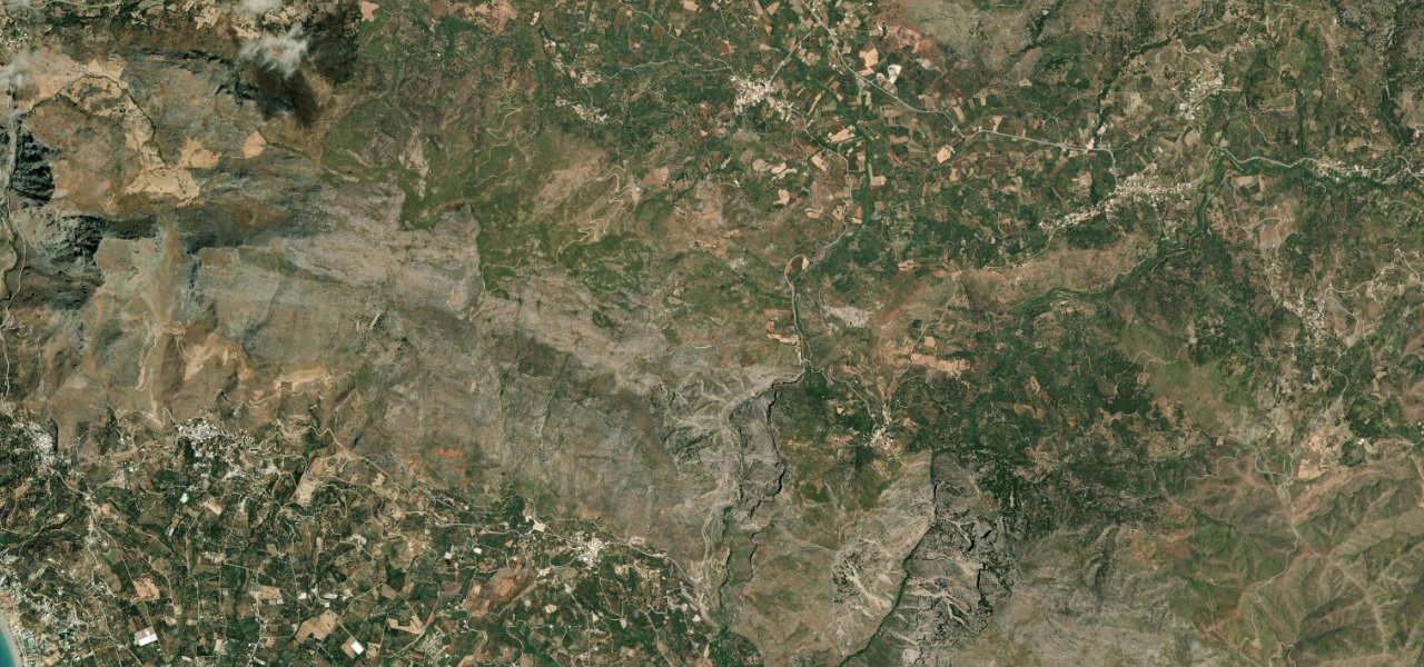
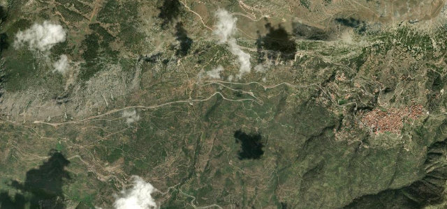
The road south from Koxare descends the 600 m Kourtaliotiko Gorge where Griffon vultures circle and a 40 m waterfall cascades from the cliffs, opening onto the palm-fringed Preveli lagoon.
From Koxare the road drops into the gorge past the cliff-side chapel of Agios Nikolaos and the waterfall, opening at Asomatos, from where it continues to Plakias or the Preveli monastery and its palm-lined lagoon beach.
Scenery
GorgeMountainCoast
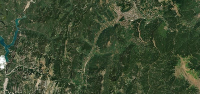
Where it runs
KoxareStart · Rethymno, Crete
AsomatosEnd · Rethymno, Crete
Navigate to the start: Apple Maps · Google Maps
Character
Corners17bends
Tightness6of 10
Max gradient8%≈ 1-in-13
Climb218 mtotal ascent
Summit297 mhighest point of the line · 974 ft
Elevation
under 4%4–8%over 8%118 – 297 mHazards
- narrow winding sections
- limited parking causing road blockage at stops
Sources: Road geometry © OpenStreetMap contributors
Nearby roads
The closest great drives to Kourtaliotiko Gorge Road.
Kourtaliotiko Gorge Road
Directions