Day-trip range
Driving roads near Burlington
6 great driving roads within 100 miles of Burlington, hand-picked and fact-checked. The closest is Smugglers' Notch, 21 miles out. Distances are straight-line, so drive times will vary.
 Mount Equinox Skyline Drive3 mi · 6 min · 657 m summitView the roadbook ›
The roads, closest first
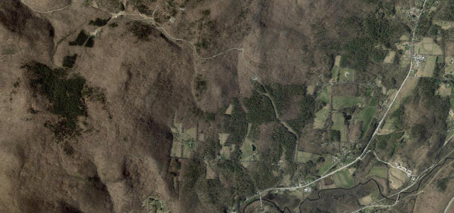
Smugglers' Notch
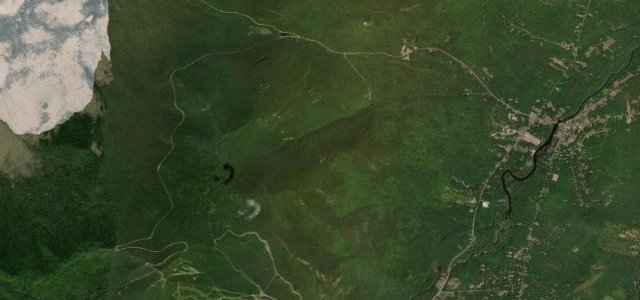
Whiteface Veterans Memorial Highway
Vermont Route 100, Granville Gulf
Kancamagus Highway
Mount Washington Auto Road
Near other cities
All 81 roads in the United States ›
Driving near Burlington: common questions
What is the best driving road near Burlington?
Mount Equinox Skyline Drive, about 93 miles from Burlington as the crow flies. The longest privately owned paved toll road in the US, climbing 5.2 miles of hairpins up Mount Equinox above Manchester, Vermont.
How many great driving roads are within 100 miles of Burlington?
6 of the roads in our catalogue pass within 100 miles of Burlington, every one mapped from real road geometry and fact-checked.
What is the closest great driving road to Burlington?
Smugglers' Notch, about 21 miles away. Narrow seasonal pass squeezing between cliffs and boulders below Mount Mansfield.