Day-trip range

Driving roads near Asheville

15 great driving roads within 100 miles of Asheville. The closest is Mount Mitchell Summit Road, 19 miles out. Distances are straight-line, so drive times will vary.

The roads, closest first
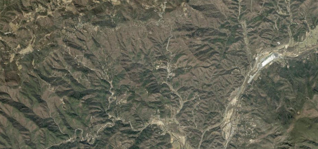
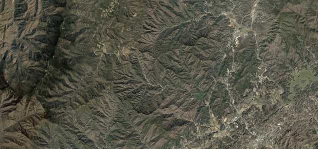
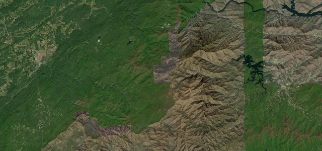
Satellite map of The Diamondback The Diamondback12 mi · 28 min · 1,056 m summitView the roadbook ›
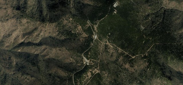
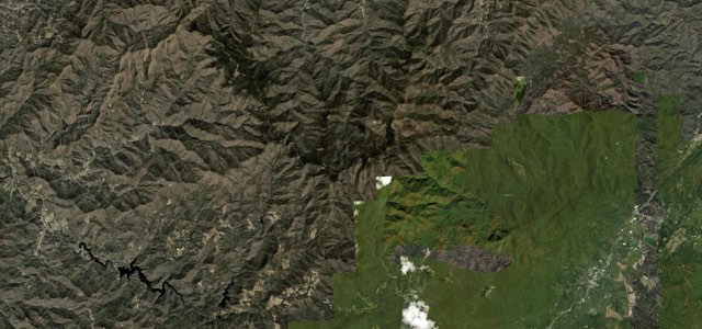
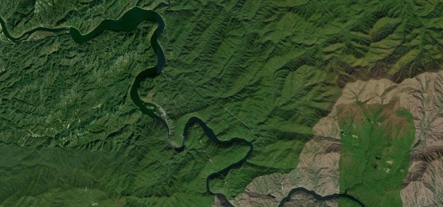
Satellite map of Mount Mitchell Summit Road, The East

Mount Mitchell Summit Road

NC 128The East

2 mi · 3 min · 1,974 m summit · 19 mi away

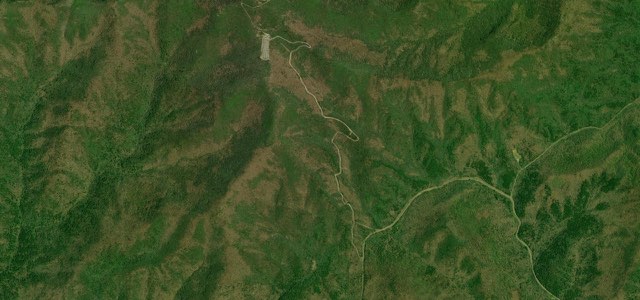
Satellite map of Devil's Whip, The East

Devil’s Whip

NC 80The East

18 mi · 43 min · 1,022 m summit · 24 mi away

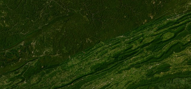
Satellite map of Balsam Grove, The East

Balsam Grove

NC 215The East

17 mi · 37 min · 1,624 m summit · 27 mi away

Satellite map of Cherokee Foothills Scenic Highway, The East

Cherokee Foothills Scenic Highway

SC 11The East

120 mi · 3 h 39 min · 35 corners · 35 mi away

Satellite map of Newfound Gap Road, The East

Newfound Gap Road

US 441The East

33 mi · 1 h 6 min · 1,541 m summit · 44 mi away

Satellite map of Moonshiner 28, The East

Moonshiner 28

NC 28The East

73 mi · 2 h 34 min · 1,171 m summit · 52 mi away

Satellite map of Blue Ridge Parkway Linn Cove, The East

Blue Ridge Parkway Linn Cove

The East

8 mi · 16 min · 1,346 m summit · 54 mi away

Satellite map of Foothills Parkway (Western Section), The East

Foothills Parkway (Western Section)

The East

15 mi · 27 min · 763 m summit · 62 mi away

Satellite map of The Snake, The East

The Snake

US 421The East

23 mi · 50 min · 1,186 m summit · 72 mi away

Satellite map of Cherohala Skyway, The East

Cherohala Skyway

NC 143TN 165The East

51 mi · 1 h 37 min · 1,643 m summit · 73 mi away

Satellite map of Tail of the Dragon, The East

Tail of the Dragon

US 129The East

13 mi · 32 min · 597 m summit · 78 mi away

Satellite map of Brasstown Bald Spur, The East

Brasstown Bald Spur

GA 180 SpurThe East

2 mi · 5 min · 1,323 m summit · 87 mi away

Satellite map of Hayters Gap to Breaks Interstate Park, The East

Hayters Gap to Breaks Interstate Park
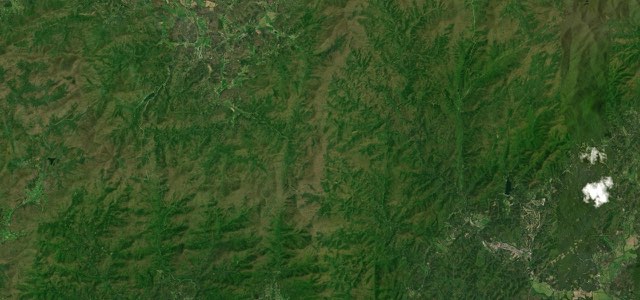
VA 80The East

65 mi · 2 h 23 min · 919 m summit · 89 mi away

Satellite map of Richard B. Russell Scenic Highway, The East

Richard B. Russell Scenic Highway

GA 348The East

14 mi · 28 min · 1,058 m summit · 93 mi away

Near other cities

All 123 roads in the United States ›

Driving near Asheville: common questions

What is the best driving road near Asheville?
The Diamondback, about 30 miles from Asheville as the crow flies. Twelve miles of relentless switchbacks dropping off the ridge at Little Switzerland.
How many great driving roads are within 100 miles of Asheville?
15 of the roads in our catalogue pass within 100 miles of Asheville, every one traced from OpenStreetMap.
What is the closest great driving road to Asheville?
Mount Mitchell Summit Road, about 19 miles away. Peel off the Blue Ridge Parkway and NC 128 has one job: up, at roughly nine percent through spruce-fir forest, to the 6,684 ft summit of Mount Mitchell.