Day-trip range
Driving roads near Bristol, Tennessee
9 great driving roads within 100 miles of Bristol, Tennessee. The closest is The Snake, 7 miles out. Distances are straight-line, so drive times will vary.
The roads, closest first
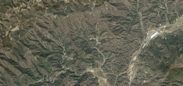 The Diamondback12 mi · 28 min · 1,056 m summitView the roadbook ›
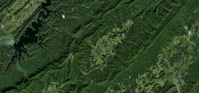
The Snake
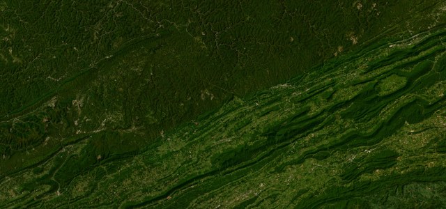
Hayters Gap to Breaks Interstate Park
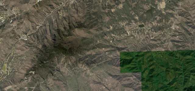
Blue Ridge Parkway Linn Cove
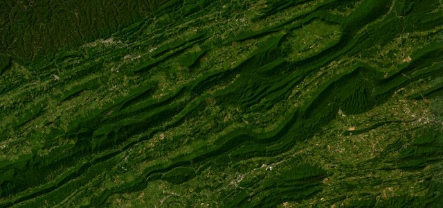
Back of the Dragon
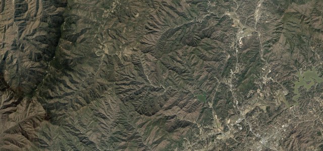
Devil’s Whip
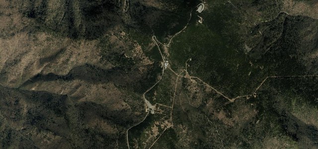
Mount Mitchell Summit Road
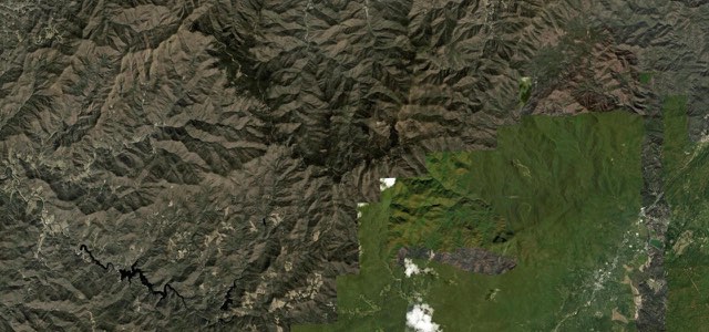
Balsam Grove
Newfound Gap Road
Near other cities
Driving near Bristol, Tennessee: common questions
What is the best driving road near Bristol, Tennessee?
The Diamondback, about 52 miles from Bristol, Tennessee as the crow flies. Twelve miles of relentless switchbacks dropping off the ridge at Little Switzerland.
How many great driving roads are within 100 miles of Bristol, Tennessee?
9 of the roads in our catalogue pass within 100 miles of Bristol, Tennessee, every one traced from OpenStreetMap.
What is the closest great driving road to Bristol, Tennessee?
The Snake, about 7 miles away. A celebrated motorcycle and sports-car road in the northeast corner of Tennessee, climbing over Iron and Holston Mountains through Shady Valley with a much-quoted 489 curves over three mountains.