Day-trip range
Driving roads near Charleston, West Virginia
4 great driving roads within 100 miles of Charleston, West Virginia. The closest is The Triple Nickel, 64 miles out. Distances are straight-line, so drive times will vary.
The roads, closest first
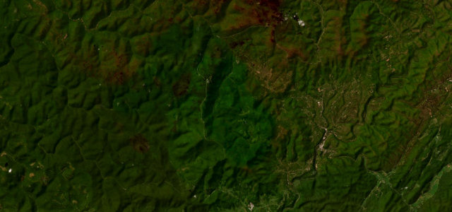 Highland Scenic Highway16 mi · 31 min · 1,386 m summitView the roadbook ›
Near other cities
Driving near Charleston, West Virginia: common questions
What is the best driving road near Charleston, West Virginia?
Highland Scenic Highway, about 76 miles from Charleston, West Virginia as the crow flies. High Allegheny ridge parkway over 4,500 feet through the Monongahela forest.
How many great driving roads are within 100 miles of Charleston, West Virginia?
4 of the roads in our catalogue pass within 100 miles of Charleston, West Virginia, every one traced from OpenStreetMap.
What is the closest great driving road to Charleston, West Virginia?
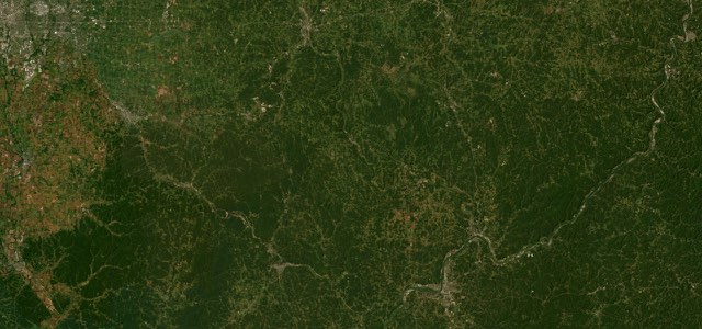
The Triple Nickel, about 64 miles away. First on Car and Driver’s 2020 list of America’s twelve best driving roads, SR 555 rolls 62 miles through the farmland and forest of southeast Ohio, mixing fast sweepers with blind crests and tight, low-speed corners.