Day-trip range
Driving roads near Harrisonburg
3 great driving roads within 100 miles of Harrisonburg. The closest is Allegheny Front, Elkins to Franklin, 29 miles out. Distances are straight-line, so drive times will vary.
The roads, closest first
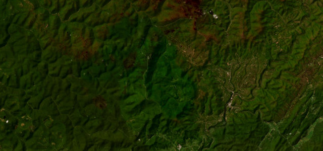 Highland Scenic Highway16 mi · 31 min · 1,386 m summitView the roadbook ›
Near other cities
Driving near Harrisonburg: common questions
What is the best driving road near Harrisonburg?
Highland Scenic Highway, about 71 miles from Harrisonburg as the crow flies. High Allegheny ridge parkway over 4,500 feet through the Monongahela forest.
How many great driving roads are within 100 miles of Harrisonburg?
3 of the roads in our catalogue pass within 100 miles of Harrisonburg, every one traced from OpenStreetMap.
What is the closest great driving road to Harrisonburg?
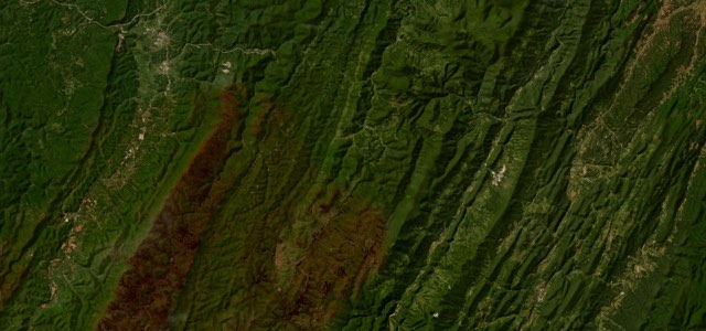
Allegheny Front, Elkins to Franklin, about 29 miles away. US 33 climbs east from Elkins over the Eastern Continental Divide, drops down the Allegheny Front to Seneca Rocks, then crosses North Fork Mountain at 3,600 feet to Franklin, 58 miles of steep grades and twisting two-lane road.