Day-trip range
Driving roads near Atlanta
4 great driving roads within 100 miles of Atlanta. The closest is Talladega Scenic Drive, 72 miles out. Distances are straight-line, so drive times will vary.
The roads, closest first
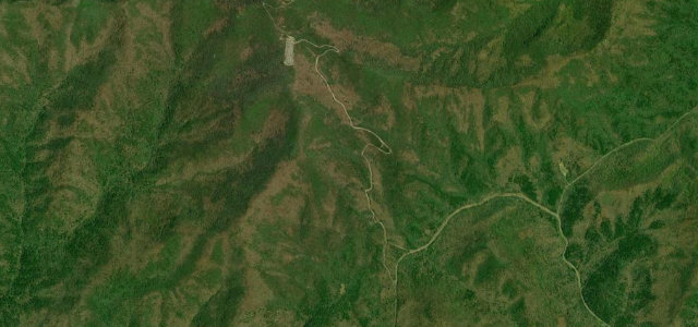 Brasstown Bald Spur2 mi · 5 min · 1,323 m summitView the roadbook ›
Near other cities
Driving near Atlanta: common questions
What is the best driving road near Atlanta?
Brasstown Bald Spur, about 83 miles from Atlanta as the crow flies. The short, steep paved spur from Jacks Gap to the summit parking of Brasstown Bald, the highest point in Georgia, climbing roughly 1,700 feet in under three miles.
How many great driving roads are within 100 miles of Atlanta?
4 of the roads in our catalogue pass within 100 miles of Atlanta, every one traced from OpenStreetMap.
What is the closest great driving road to Atlanta?
Talladega Scenic Drive, about 72 miles away. AL 281 follows the crest of the Talladega Mountains for about 26 miles, from US 78 near Heflin past Cheaha Mountain, the highest point in Alabama, to a dead end where the pavement stops at a forest road.