Day-trip range
Driving roads near Kandy
3 great driving roads within 100 miles of Kandy. The closest is Kandy to Mahiyangana, the 18 Bends Road, right on the doorstep. Distances are straight-line, so drive times will vary.
The roads, closest first
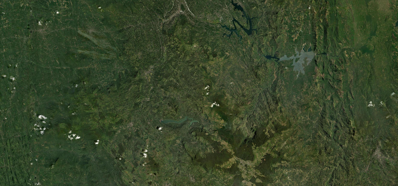 Hill Country Highway43 mi · 1 h 45 min · 15 hairpinsView the roadbook ›
Near other cities
Driving near Kandy: common questions
What is the best driving road near Kandy?
Hill Country Highway, about 3 miles from Kandy as the crow flies. Sri Lanka’s classic hill-country climb, rising some 1,400 m from Kandy’s outskirts to Nuwara Eliya through near-continuous hairpins, tea estates and waterfalls.
How many great driving roads are within 100 miles of Kandy?
3 of the roads in our catalogue pass within 100 miles of Kandy, every one traced from OpenStreetMap.
What is the closest great driving road to Kandy?
Kandy to Mahiyangana, the 18 Bends Road, about 2 miles away. The A26 runs from Kandy over the Hunnasgiriya ridge at about 890 m, then drops about 700 m through the hairpins of the 18 Bends Road, Daha Ata Wanguwa, to Hasalaka and the Mahaweli plain at Mahiyangana.