Central / Uva · Sri Lanka
Kandy to Mahiyangana, the 18 Bends Road
A26Kandy to Mahiyangana
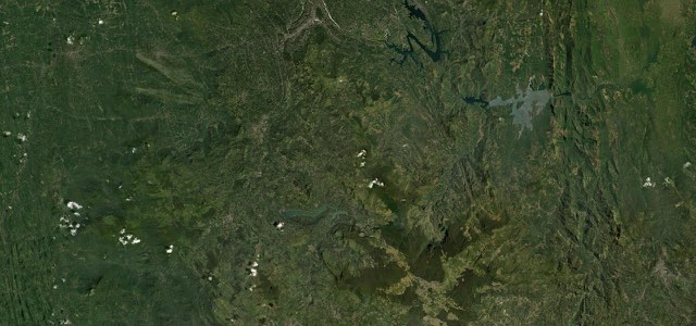
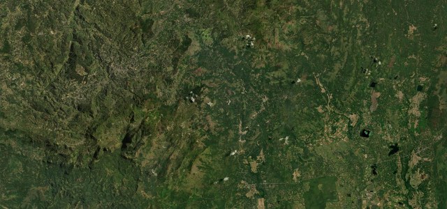
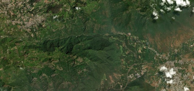
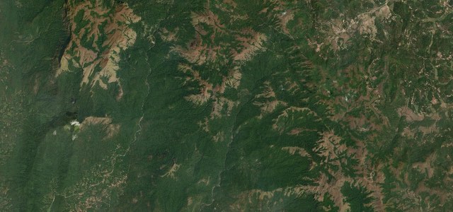
The A26 runs from Kandy over the Hunnasgiriya ridge at about 890 m, then drops about 700 m through the hairpins of the 18 Bends Road, Daha Ata Wanguwa, to Hasalaka and the Mahaweli plain at Mahiyangana.
The A26 leaves the eastern edge of Kandy and runs through Kundasale, Pallekele, Digana and Teldeniya, then climbs through Medamahanuwara to Hunnasgiriya, where the road tops out at about 890 m. Beyond Ududumbara it descends in a series of hairpins known as Daha Ata Wanguwa, the 18 Bends Road, which has 17 bends today because one was removed when the road was widened. A large viewing platform on the bends carries a sign giving the height as 662 m above sea level. At the foot of the bends lies Hasalaka, and Mahiyangana, an old pilgrim town on the Mahaweli river, is a further 7 km to the east. The British built the road in the 19th century to carry tea and spices, and it has been widened and renovated since 2008 with Asian Development Bank help.
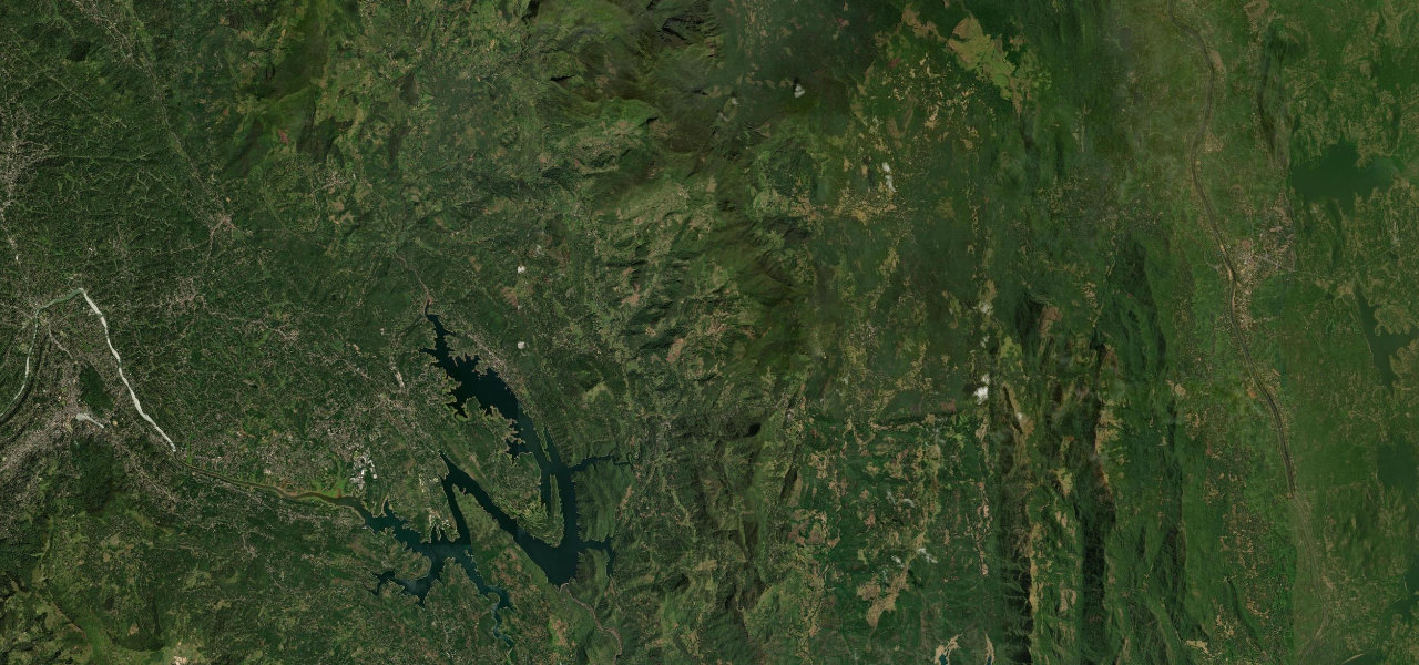
Kandy to Mahiyangana, the 18 Bends Road on the map42.3 mi · point to point
Navigate to the start: Apple Maps · Google Maps
Character
Corners
busiest around mile 34Elevation
under 4%4 to 8%over 8%86 to 898 mPoints of interest5 stops
- Roti KadaWayside eatery in a row of hotels on the climb to Hunnasgiriya.21 mi in
- Daha Ata Wanguwa viewpointLarge viewing platform on the 18 Bends, with a sign giving the height as 662 m.32 mi in
- Gurulupotha RestaurantRestaurant just below the last of the bends.36 mi in
- HasalakaTown at the bottom of the bends, 7 km before Mahiyangana.38 mi in
- MahiyanganaOld pilgrim town on the Mahaweli river, at the end of the road.42 mi in
Hazards
- Rockslides and earthslips on the bends after heavy rain
- Repair works after Cyclone Ditwah
- Slow buses and lorries on the hairpins
- Mist on the ridge
Sources
“For the adventurous, the 18-bend stretch of the Kandy-Mahiyangana Road is the perfect motorcycle-ride.”
“For adventurous motor cyclists, especially youths, the 18 hairpin road offers the perfect motor cycle ride on a picturesque road.”
“Daha Ata Wanguwa (18 Bends Road) is a famous drive in the Central Province of Sri Lanka.”
Route traced from OpenStreetMap, with its stats measured from that line. How the roads are mapped
Driving the Kandy to Mahiyangana, the 18 Bends Road: quick answers
How long does it take to drive the Kandy to Mahiyangana, the 18 Bends Road?
How difficult is the Kandy to Mahiyangana, the 18 Bends Road to drive?
When is the best time to drive the Kandy to Mahiyangana, the 18 Bends Road?
Nearby roads
The closest great drives to Kandy to Mahiyangana, the 18 Bends Road.