Day-trip range
Driving roads near Porto
6 great driving roads within 100 miles of Porto, hand-picked and fact-checked. The closest is Serra do Marão Road, 32 miles out. Distances are straight-line, so drive times will vary.
 Peneda-Gerês Forest Road (Mata da Albergaria)8 mi · 16 min · 9 hairpinsView the roadbook ›
The roads, closest first
Near other cities
Driving near Porto: common questions
What is the best driving road near Porto?
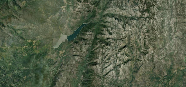
Peneda-Gerês Forest Road (Mata da Albergaria), about 46 miles from Porto as the crow flies. A storied national road (N308-1) climbing through the ancient Mata da Albergaria oakwood in Peneda-Geres National Park to the Portela do Homem pass on the Spanish border.
How many great driving roads are within 100 miles of Porto?
6 of the roads in our catalogue pass within 100 miles of Porto, every one mapped from real road geometry and fact-checked.
What is the closest great driving road to Porto?
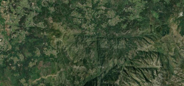
Serra do Marão Road, about 32 miles away. The old Porto to Trás-os-Montes road over the Marão.