Day-trip range
Driving roads near Rzeszow
3 great driving roads within 100 miles of Rzeszow. The closest is Great Bieszczady Loop: Cisna to Ustrzyki Górne, 59 miles out. Distances are straight-line, so drive times will vary.
The roads, closest first
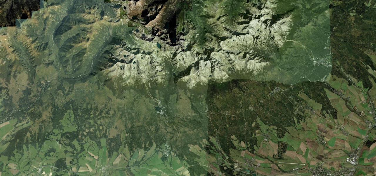 Cesta Slobody23 mi · 43 min · 1,272 m summitView the roadbook ›
Near other cities
Driving near Rzeszow: common questions
What is the best driving road near Rzeszow?
Cesta Slobody, about 97 miles from Rzeszow as the crow flies. The Freedom Road runs some 40 km along the southern foot of the High Tatras, threading a string of belle-époque resort villages beneath Slovakia’s highest peaks, freshly resurfaced.
How many great driving roads are within 100 miles of Rzeszow?
3 of the roads in our catalogue pass within 100 miles of Rzeszow, every one traced from OpenStreetMap.
What is the closest great driving road to Rzeszow?
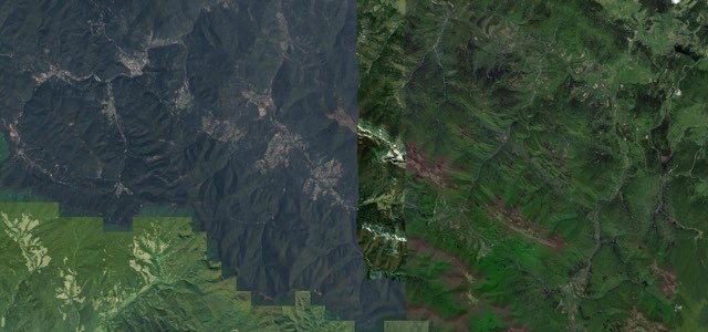
Great Bieszczady Loop: Cisna to Ustrzyki Górne, about 59 miles away. The mountain heart of the Great Bieszczady Loop, DW 897 runs from Cisna over the Przysłup, Wyżna and Wyżniańska passes, past Wetlina and the Połonina Wetlińska ridge, down to Ustrzyki Górne.