Day-trip range
Driving roads near Salzburg
30 great driving roads within 100 miles of Salzburg, hand-picked and fact-checked. The closest is Deutsche Alpenstraße (Schwarzbachwacht), 9 miles out. Distances are straight-line, so drive times will vary.
 Loser Panoramastraße2 mi · 4 min · 1,560.1 m summitView the roadbook ›
The roads, closest first
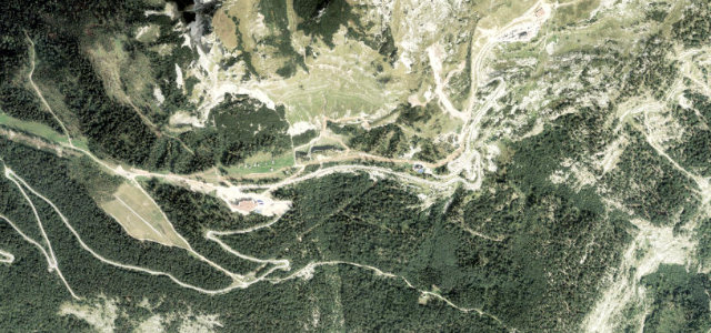
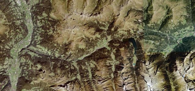
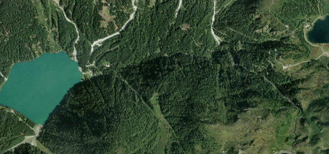
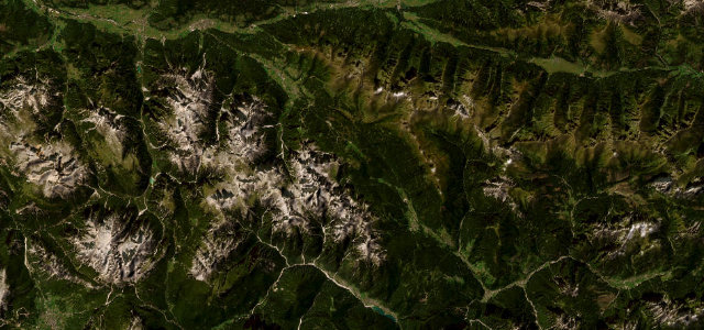
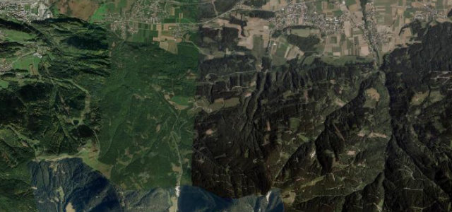
Deutsche Alpenstraße (Schwarzbachwacht)
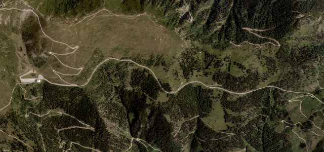
Rossfeld Panoramastraße
Hochkönig Straße
Grossglockner High Alpine Road
Sudelfeld Pass
Sölkpass
Malta-Hochalmstraße (Kölnbreinsperre)
Gerlos Pass
Achenpass
Nockalm Road
Zillertaler Höhenstraße
Passo di Stalle (Staller Sattel)
Goldeck Panoramastrasse
Plöckenpass
Kesselbergstraße
Passo Monte Croce di Comelico
Passo di Pramollo
Villach Alpine Road
Tre Cime di Lavaredo Toll Road
Wurzen Pass (Wurzenpass)
Passo delle Erbe (Würzjoch)
Passo Tre Croci
Passo Falzarego
All 713 roads in the catalogue ›
Near other cities
Driving near Salzburg: common questions
What is the best driving road near Salzburg?
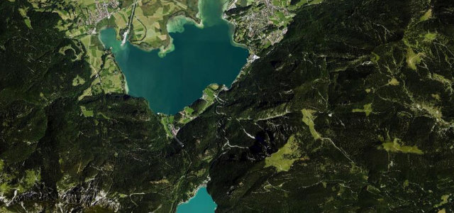
Loser Panoramastraße, about 35 miles from Salzburg as the crow flies. A short, intense toll panorama road of tight hairpins above Altaussee in the Salzkammergut, with views over the Altausseer See to the Dachstein.
How many great driving roads are within 100 miles of Salzburg?
30 of the roads in our catalogue pass within 100 miles of Salzburg, every one mapped from real road geometry and fact-checked.
What is the closest great driving road to Salzburg?
Deutsche Alpenstraße (Schwarzbachwacht), about 9 miles away. Alpine leg of the German Alpine Road over the Schwarzbachwacht saddle, Inzell to Ramsau.