Podkarpackie · Poland
Great Bieszczady Loop: Cisna to Ustrzyki Górne
DW 897Cisna to Ustrzyki Górne
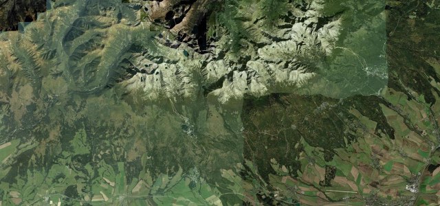
The mountain heart of the Great Bieszczady Loop, DW 897 runs from Cisna over the Przysłup, Wyżna and Wyżniańska passes, past Wetlina and the Połonina Wetlińska ridge, down to Ustrzyki Górne.
DW 897 leaves Cisna, where the Siekierezada pub is a local cult stop, and loops north through Dołżyca before turning south-east through Krzywe to the Przysłup pass at 651 m. Kalnica and Smerek follow, then Wetlina, set below the Połonina Wetlińska meadow ridge and close to the Siklawa Ostrowskich waterfall. East of Wetlina the road climbs to the Wyżna pass at 872 m, which one Polish motorcycle shop calls the best viewpoint on the route, then runs through Brzegi Górne and over the Wyżniańska pass at 890 m before descending to Ustrzyki Górne in the heart of the Bieszczady. The loop it belongs to was built by the army almost 60 years ago, and Polish riders’ guides pick this stretch between Cisna and Ustrzyki Górne as the part of the 144 km circuit with the most motorcycle character.
Great Bieszczady Loop: Cisna to Ustrzyki Górne on the map22.0 mi · point to point
Navigate to the start: Apple Maps · Google Maps
Character
Corners
busiest around mile 15Elevation
under 4%4 to 8%over 8%530 to 876 mPoints of interest6 stops
- SiekierezadaCult pub and gallery in Cisna, known for its book of Bieszczady stories.at the start
- Przełęcz PrzysłupPass at 651 m with a trout restaurant and a viewpoint.5.4 mi in
- Siklawa OstrowskichWaterfall at Wetlina, just off the road.10 mi in
- WetlinaVillage that one rider’s guide names as the best place for coffee or lunch mid-route.11 mi in
- Przełęcz WyżnaPass at 872 m with a wide panorama of the Bieszczady, named as the best viewpoint on the route.15 mi in
- Przełęcz WyżniańskaPass at 890 m, the highest on the stretch, where a rider’s guide says you feel the height and space.18 mi in
Hazards
- Sand on the bends after rain
- Worn, uneven surface in places
- Wild animals on the road
- Heavy weekend traffic with many motorcycles
- Asphalt in forest shade dries slowly
Sources
“Najciekawszy jest środkowy fragment między Cisną a Ustrzykami Górnymi, bo właśnie tam Bieszczady pokazują swój najbardziej motocyklowy charakter.”
“Bieszczady to bez wątpienia raj dla motocyklistów, gdzie asfaltowe serpentyny prowadzą przez malownicze góry, lasy i doliny.”
“mimo tego, że jest nazywana także Drogą Stu Zakrętów, ze względu na liczne serpentyny, to nie wymaga od podróżnych wielkiego wysiłku.”
Route traced from OpenStreetMap, with its stats measured from that line. How the roads are mapped
Driving the Great Bieszczady Loop: Cisna to Ustrzyki Górne: quick answers
How long does it take to drive the Great Bieszczady Loop: Cisna to Ustrzyki Górne?
How difficult is the Great Bieszczady Loop: Cisna to Ustrzyki Górne to drive?
When is the best time to drive the Great Bieszczady Loop: Cisna to Ustrzyki Górne?
Nearby roads
The closest great drives to Great Bieszczady Loop: Cisna to Ustrzyki Górne.