Day-trip range
Driving roads near Santa Rosa
3 great driving roads within 100 miles of Santa Rosa. The closest is Highway 1, Sonoma Coast, 19 miles out. Distances are straight-line, so drive times will vary.
The roads, closest first
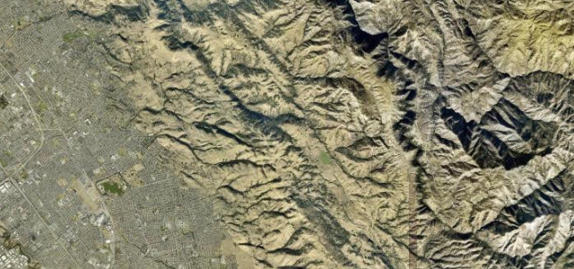 Mount Hamilton Road19 mi · 42 min · 7 hairpinsView the roadbook ›
Near other cities
Driving near Santa Rosa: common questions
What is the best driving road near Santa Rosa?
Mount Hamilton Road, about 89 miles from Santa Rosa as the crow flies. Endless switchbacks from San Jose up to Lick Observatory on Mount Hamilton
How many great driving roads are within 100 miles of Santa Rosa?
3 of the roads in our catalogue pass within 100 miles of Santa Rosa, every one traced from OpenStreetMap.
What is the closest great driving road to Santa Rosa?
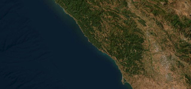
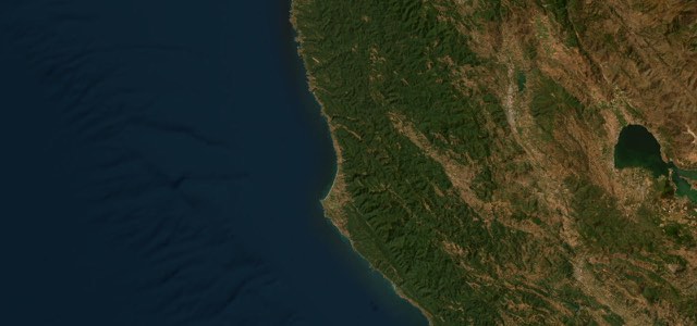
Highway 1, Sonoma Coast, about 19 miles away. Highway 1 follows the Sonoma Coast for about 46 miles from Bodega Bay through Jenner and Fort Ross to the Gualala River, climbing onto cliff-top curves high above the sea north of the Russian River.