Day-trip range
Driving roads near South Lake Tahoe
5 great driving roads within 100 miles of South Lake Tahoe. The closest is Emerald Bay and the West Shore, right on the doorstep. Distances are straight-line, so drive times will vary.
The roads, closest first
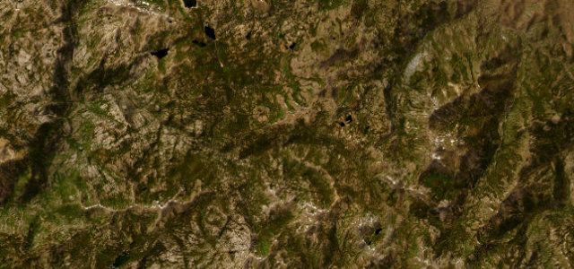 Ebbetts Pass21 mi · 45 min · 2,669 m summitView the roadbook ›
Near other cities
Driving near South Lake Tahoe: common questions
What is the best driving road near South Lake Tahoe?
Ebbetts Pass, about 25 miles from South Lake Tahoe as the crow flies. A narrow, wild Sierra crossing with no centre line over the top.
How many great driving roads are within 100 miles of South Lake Tahoe?
5 of the roads in our catalogue pass within 100 miles of South Lake Tahoe, every one traced from OpenStreetMap.
What is the closest great driving road to South Lake Tahoe?
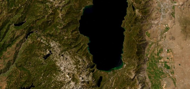
Emerald Bay and the West Shore, about 2 miles away. CA 89 leaves the Y in South Lake Tahoe past Camp Richardson, climbs on switchbacks to a ridge high above Emerald Bay, then follows the lake’s west shore through Meeks Bay and Homewood to Tahoe City.