Day-trip range
Driving roads near Las Vegas
3 great driving roads within 100 miles of Las Vegas. The closest is Red Rock Canyon Scenic Drive, 16 miles out. Distances are straight-line, so drive times will vary.
The roads, closest first
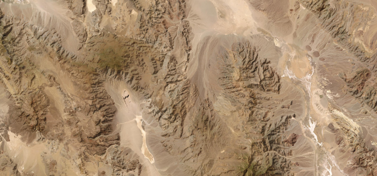 Death Valley Scenic Byway73 mi · 2 h 25 min · 1,604 m summitView the roadbook ›
Near other cities
Driving near Las Vegas: common questions
What is the best driving road near Las Vegas?
Death Valley Scenic Byway, about 98 miles from Las Vegas as the crow flies. CA 190 drops about 3,500 feet in curves from the Darwin plateau to Panamint Valley, climbs to 4,956-foot Towne Pass, then falls about 5,000 feet to the floor of Death Valley and on to Furnace Creek, below sea level.
How many great driving roads are within 100 miles of Las Vegas?
3 of the roads in our catalogue pass within 100 miles of Las Vegas, every one traced from OpenStreetMap.
What is the closest great driving road to Las Vegas?
Red Rock Canyon Scenic Drive, about 16 miles away. A 13-mile one-way paved road through Red Rock Canyon National Conservation Area, passing the Calico Hills, Ice Box Canyon and Pine Creek, with an entrance fee and a timed-entry reservation from October to May.