Day-trip range
Driving roads near Moab
4 great driving roads within 100 miles of Moab. The closest is Upper Colorado River Scenic Byway, right on the doorstep. Distances are straight-line, so drive times will vary.
The roads, closest first
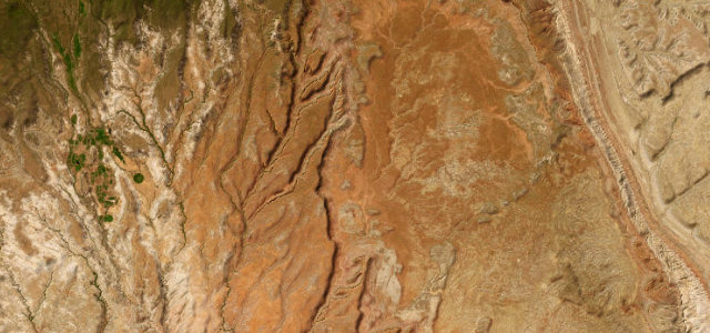 Burr Trail33 mi · 1 h 13 min · 2,087 m summitView the roadbook ›
Near other cities
Driving near Moab: common questions
What is the best driving road near Moab?
Burr Trail, about 95 miles from Moab as the crow flies. Boulder red-rock backway through Long Canyon to the Burr switchbacks
How many great driving roads are within 100 miles of Moab?
4 of the roads in our catalogue pass within 100 miles of Moab, every one traced from OpenStreetMap.
What is the closest great driving road to Moab?
Upper Colorado River Scenic Byway, about 2 miles away. The River Road out of Moab follows the Colorado through a narrow red sandstone gorge for 30 miles, past riverside campgrounds, the film country of Professor Valley and the Fisher Towers, to the remains of the Dewey suspension bridge.