Day-trip range
Driving roads near Taos
3 great driving roads within 100 miles of Taos. The closest is Enchanted Circle Scenic Byway, right on the doorstep. Distances are straight-line, so drive times will vary.
The roads, closest first
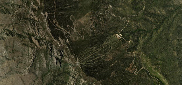 Sandia Crest Road8 mi · 16 min · 3,247 m summitView the roadbook ›
Near other cities
Driving near Taos: common questions
What is the best driving road near Taos?
Sandia Crest Road, about 95 miles from Taos as the crow flies. A switchback climb to a 10,678 ft crest above Albuquerque.
How many great driving roads are within 100 miles of Taos?
3 of the roads in our catalogue pass within 100 miles of Taos, every one traced from OpenStreetMap.
What is the closest great driving road to Taos?
Enchanted Circle Scenic Byway, about 0 miles away. An 84-mile loop from Taos around Wheeler Peak, New Mexico’s highest mountain, running north to Questa, up the Red River valley and over Bobcat Pass, then back over Palo Flechado Pass and down Taos Canyon.