Day-trip range
Driving roads near Laramie
3 great driving roads within 100 miles of Laramie. The closest is Snowy Range Scenic Byway, 28 miles out. Distances are straight-line, so drive times will vary.
The roads, closest first
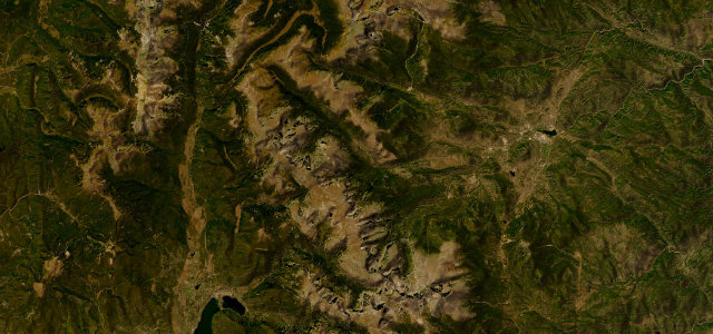 Trail Ridge Road47 mi · 1 h 34 min · 3,713 m summitView the roadbook ›
Near other cities
Driving near Laramie: common questions
What is the best driving road near Laramie?
Trail Ridge Road, about 62 miles from Laramie as the crow flies. The highest continuous paved road in the US, over Rocky Mountain National Park.
How many great driving roads are within 100 miles of Laramie?
3 of the roads in our catalogue pass within 100 miles of Laramie, every one traced from OpenStreetMap.
What is the closest great driving road to Laramie?
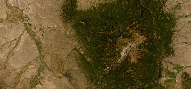
Snowy Range Scenic Byway, about 28 miles away. WY 130 climbs west from Centennial across the Medicine Bow Mountains, over a summit above 10,800 feet past Libby Flats, Mirror Lake and Lake Marie, then drops through Ryan Park to the North Platte valley and Saratoga.