Day-trip range
Driving roads near Boise
3 great driving roads within 100 miles of Boise. The closest is Payette River Scenic Byway, 21 miles out. Distances are straight-line, so drive times will vary.
The roads, closest first
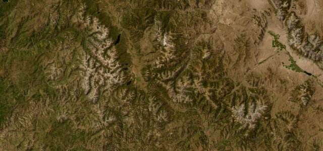 Sawtooth Scenic Byway61 mi · 2 h 2 min · 2,657 m summitView the roadbook ›
Near other cities
Driving near Boise: common questions
What is the best driving road near Boise?
Sawtooth Scenic Byway, about 75 miles from Boise as the crow flies. Idaho State Highway 75 over 8701 ft Galena Summit, with the jagged Sawtooth peaks filling the valley below.
How many great driving roads are within 100 miles of Boise?
3 of the roads in our catalogue pass within 100 miles of Boise, every one traced from OpenStreetMap.
What is the closest great driving road to Boise?
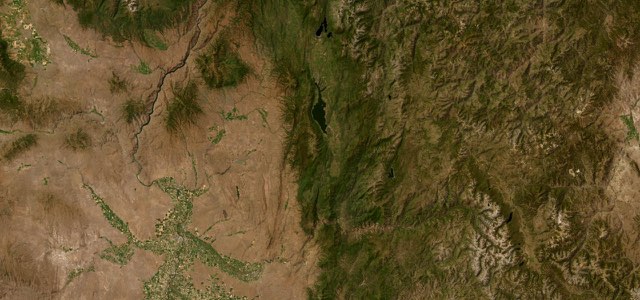
Payette River Scenic Byway, about 21 miles away. ID 55 follows the Payette River north from Horseshoe Bend through Banks and Smiths Ferry, climbs out of the canyon to Cascade and Lake Cascade, then runs through the Long Valley to the shore of Payette Lake at McCall.