Day-trip range
Driving roads near Portland
3 great driving roads within 100 miles of Portland, hand-picked and fact-checked. The closest is Historic Columbia River Highway, 21 miles out. Distances are straight-line, so drive times will vary.
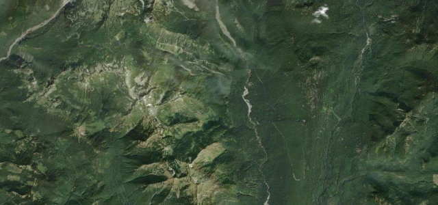 Stevens Canyon Road19 mi · 40 min · 1,505 m summitView the roadbook ›
The roads, closest first
Near other cities
All 81 roads in the United States ›
Driving near Portland: common questions
What is the best driving road near Portland?
Stevens Canyon Road, about 98 miles from Portland as the crow flies. Cliff-hugging park road below Mount Rainier
How many great driving roads are within 100 miles of Portland?
3 of the roads in our catalogue pass within 100 miles of Portland, every one mapped from real road geometry and fact-checked.
What is the closest great driving road to Portland?
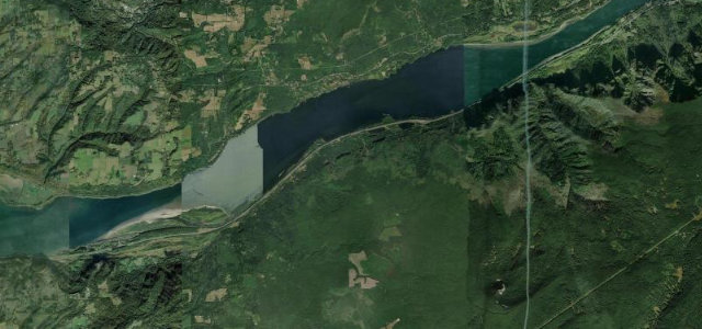
Historic Columbia River Highway, about 21 miles away. Samuel Lancaster’s 1913 cliff-hung byway threading the waterfall corridor of the Columbia Gorge, past Vista House and Multnomah Falls.