Day-trip range
Driving roads near Vancouver
6 great driving roads within 100 miles of Vancouver, hand-picked and fact-checked. The closest is Sea-to-Sky Highway, 9 miles out. Distances are straight-line, so drive times will vary.
 Chuckanut Drive11 mi · 23 min · 34 cornersView the roadbook ›
The roads, closest first
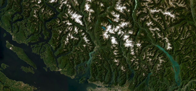
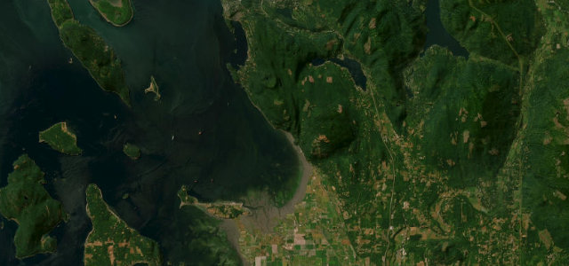
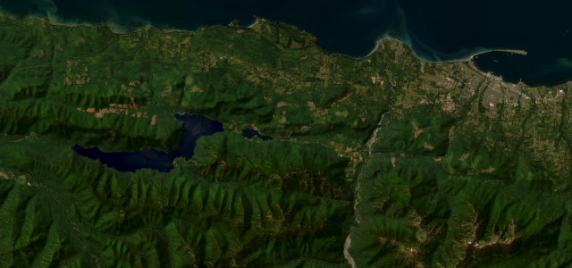
Sea-to-Sky Highway
Mount Baker Highway
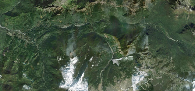
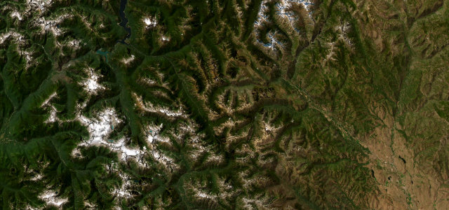
Duffey Lake Road
Olympic 101 Lake Crescent
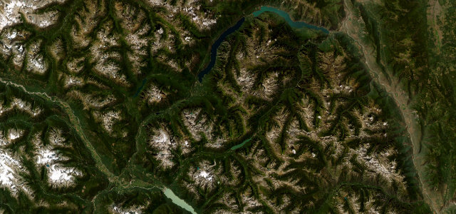
North Cascades Highway
Near other cities
Driving near Vancouver: common questions
What is the best driving road near Vancouver?
Chuckanut Drive, about 50 miles from Vancouver as the crow flies. A cliff-hugging coast road south of Bellingham.
How many great driving roads are within 100 miles of Vancouver?
6 of the roads in our catalogue pass within 100 miles of Vancouver, every one mapped from real road geometry and fact-checked.
What is the closest great driving road to Vancouver?
Sea-to-Sky Highway, about 9 miles away. Coastal mountain highway from Horseshoe Bay to Whistler.