Day-trip range
Driving roads near Calgary
3 great driving roads within 100 miles of Calgary, hand-picked and fact-checked. The closest is Highwood Pass, 50 miles out. Distances are straight-line, so drive times will vary.
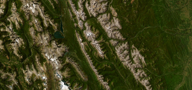
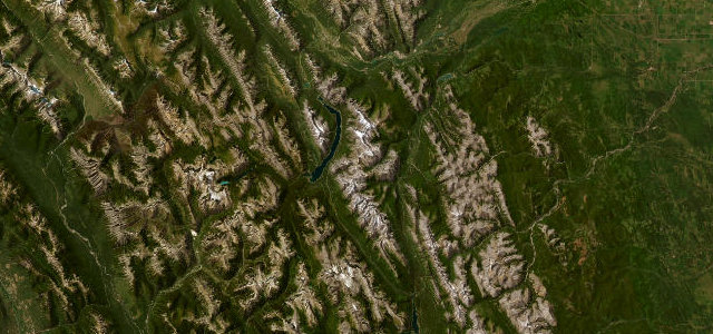 Smith-Dorrien / Spray Lakes Trail35 mi · 1 h 4 min · 1,894 m summitView the roadbook ›
The roads, closest first
Near other cities
Driving near Calgary: common questions
What is the best driving road near Calgary?
Smith-Dorrien / Spray Lakes Trail, about 53 miles from Calgary as the crow flies. A wild gravel run through the heart of Kananaskis, hugging the Spray Lakes reservoir between Canmore and Peter Lougheed Provincial Park.
How many great driving roads are within 100 miles of Calgary?
3 of the roads in our catalogue pass within 100 miles of Calgary, every one mapped from real road geometry and fact-checked.
What is the closest great driving road to Calgary?
Highwood Pass, about 50 miles away. Canada’s highest paved road through Kananaskis