Day-trip range
Driving roads near Palm Springs
4 great driving roads within 100 miles of Palm Springs. The closest is Palms to Pines Scenic Byway, 14 miles out. Distances are straight-line, so drive times will vary.
The roads, closest first
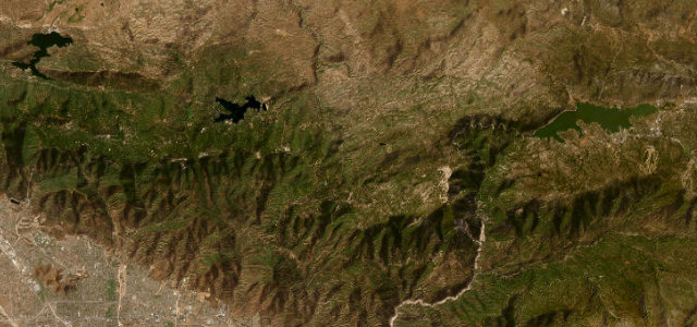 Rim of the World Highway31 mi · 1 h 1 min · 2,199 m summitView the roadbook ›
Near other cities
Driving near Palm Springs: common questions
What is the best driving road near Palm Springs?
Rim of the World Highway, about 35 miles from Palm Springs as the crow flies. A high balcony road along the rim of the San Bernardino Mountains.
How many great driving roads are within 100 miles of Palm Springs?
4 of the roads in our catalogue pass within 100 miles of Palm Springs, every one traced from OpenStreetMap.
What is the closest great driving road to Palm Springs?
Palms to Pines Scenic Byway, about 14 miles away. CA 74 climbs out of Palm Desert through the seven switchbacks of Seven Level Hill, crosses the Santa Rosa Mountains and Garner Valley, and reaches the pines at Mountain Center after about 33 miles.