England · United Kingdom
Sutton Bank
A170Thirsk to Helmsley
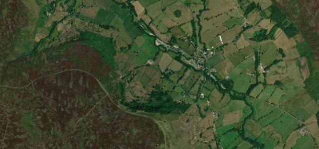
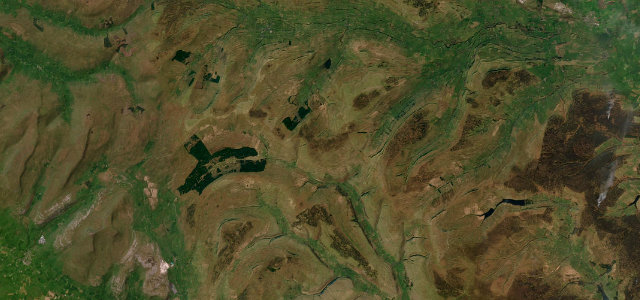
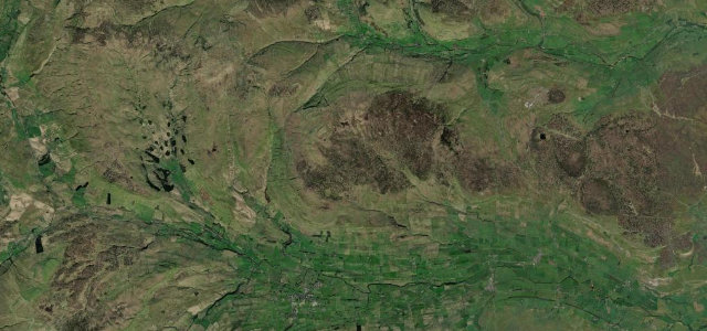
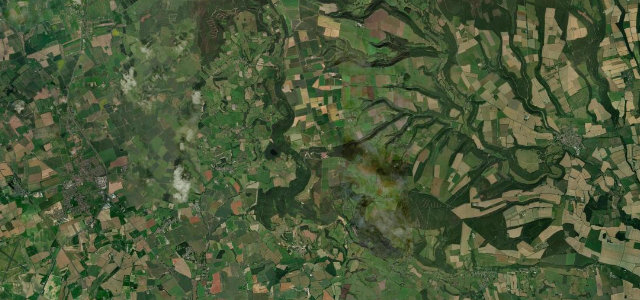
The A170 runs 13.2 miles from Thirsk to Helmsley, climbing the 1-in-4 bank onto the western escarpment of the North York Moors.
The A170 scales Sutton Bank at the western edge of the North York Moors, a steep 1-in-4 climb to a viewpoint James Herriot called the finest in England. Caravans are banned on the bank; drop to a low gear and don’t stop on the climb.
A road that turns an ordinary journey into an occasion. We’ve been known to invent errands on the far side just to earn the drive.
Why we picked it
Scenery
Best seasons
In these collections
In these guides
Where it runs13.2 mi · point to point
Navigate to the start: Apple Maps · Google Maps
Character
Steeper than 9 in 10 roads here in the catalogue.
Corners
busiest around mile 6Elevation
under 4%4–8%over 8%34 – 302.9 mPoints of interest1 stop
- Battle of BylandLandmark6.0 mi in
Hazards
- Severe 1-in-4 bank, no caravans
- Gliders overhead
- Steep descent
Sources
“The A170 road runs down the bank with a maximum gradient of 1 in 4 (25%), and including a hairpin bend.”
Verified route: mapped from real road geometry and fact-checked by a human editor. How roads get checked
Driving the Sutton Bank: quick answers
How long does it take to drive the Sutton Bank?
How difficult is the Sutton Bank to drive?
When is the best time to drive the Sutton Bank?
Nearby roads
The closest great drives to Sutton Bank.