England · United Kingdom
South Downs
A286Haslemere to Chichester
A rolling road over the South Downs from Haslemere to Chichester.
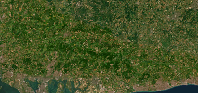
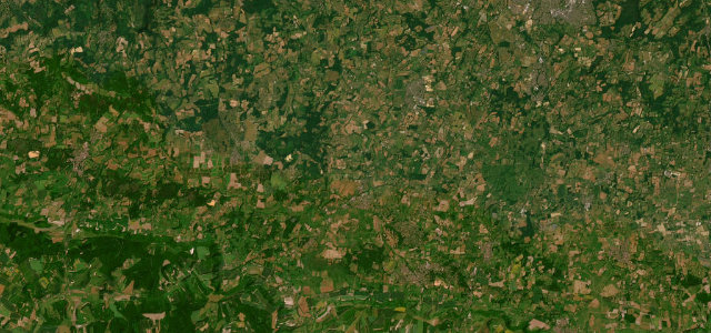
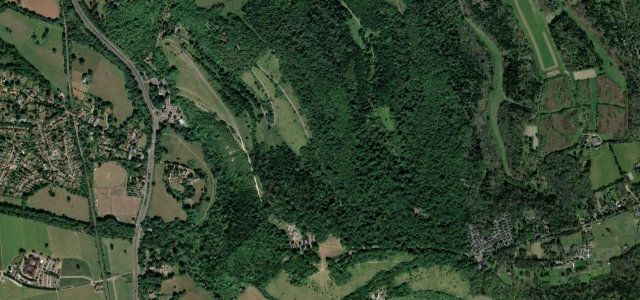
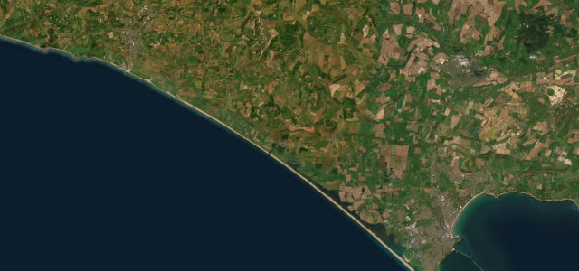
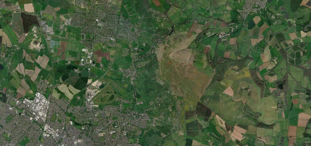
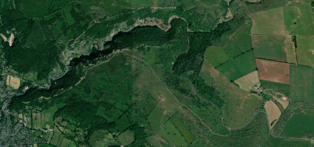
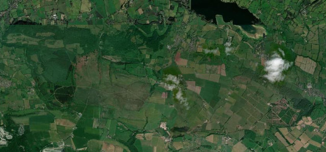
The A286 crosses the South Downs from Haslemere down through the Weald and over the chalk at Singleton towards Chichester. It is a varied road of woods, villages and downland; mind the cyclists, the horse-riders near Goodwood and the tourist traffic on race days.
Where it runs20.6 mi · point to point
HaslemereStart · England
ChichesterEnd · England
Navigate to the start: Apple Maps · Google Maps
Character
Corners24bends
Tightness4of 10
Max gradient7%≈ 1-in-14
Descent477 mtotal descent
Summit184 mhighest point of the line · 604 ft
Corners
busiest around mile 20Elevation
under 4%4–8%over 8%11.1 – 184 mPoints of interest4 stops
- Weald & Downland Living MuseumLandmark14 mi in
- Cowdray RuinsLandmark7.7 mi in
- Marley Heights ViewpointViewpoint2.1 mi in
- Chichester CathedralLandmark21 mi in
Hazards
- Cyclists and horse-riders
- Heavy traffic on Goodwood race days
- Villages with low limits
Sources
“Some beautiful scenery, nice towns and villages, bit of history, and some awesome sweeping corners.”
Verified route: mapped from real road geometry and fact-checked by a human editor. How roads get checked
Driving the South Downs: quick answers
How long does it take to drive the South Downs?
South Downs runs 20.6 miles (33 km) and takes about 39 min to drive without stops.
How difficult is the South Downs to drive?
We rate it moderate: 24 corners, a maximum gradient of 7%, and a tightness of 4 out of 10.
When is the best time to drive the South Downs?
Spring and Summer and Autumn are best.
Nearby roads
The closest great drives to South Downs.
South Downs
DirectionsGet the app