England · United Kingdom
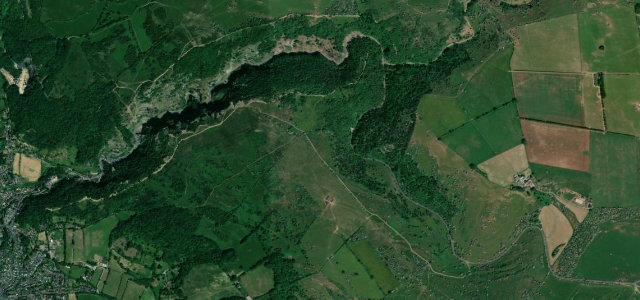
Cleeve Hill
B4632Cheltenham to Winchcombe
Escarpment road over the highest Cotswold point.
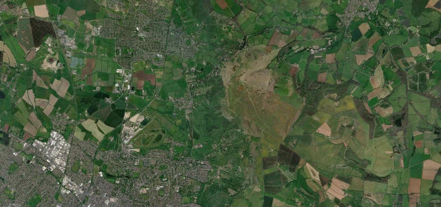
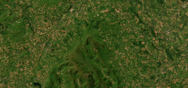
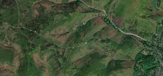
This road climbs the Cotswold escarpment between Cheltenham and Winchcombe past Cleeve Hill, the highest point of the Cotswolds at 330 metres. The open common gives wide views west over the Severn vale toward the Malverns and the Black Mountains of Wales. Mind the cattle and sheep that roam the unfenced common, golfers crossing and parked visitor cars on the verges.
Scenery
MoorlandValley
Best seasons
SpringSummerAutumn
In these collections
Where it runs4.6 mi · point to point
CheltenhamStart · England
WinchcombeEnd · England
Navigate to the start: Apple Maps · Google Maps
Character
Corners16bends
Tightness4of 10
Max gradient12%≈ 1-in-8
Climb178 mtotal ascent
Summit239 mhighest point of the line · 784 ft
Corners
busiest around mile 1Elevation
under 4%4–8%over 8%61 – 239 mPoints of interest2 stops
- Southam and Cleeve Hill War MemorialLandmark1.9 mi in
- Cleeve HillViewpoint3.2 mi in
Hazards
- Free-roaming cattle and sheep
- Golfers crossing the common
- Cars parked on verges
Sources
“On a clear day the views sweep across the Severn Valley and into Wales.”
Verified route: mapped from real road geometry and fact-checked by a human editor. How roads get checked
Driving the Cleeve Hill: quick answers
How long does it take to drive the Cleeve Hill?
Cleeve Hill runs 4.6 miles (7.4 km) and takes about 9 min to drive without stops.
How difficult is the Cleeve Hill to drive?
We rate it easy: 16 corners, a maximum gradient of 12%, and a tightness of 4 out of 10.
When is the best time to drive the Cleeve Hill?
Spring and Summer and Autumn are best.
Nearby roads
The closest great drives to Cleeve Hill.
Cleeve Hill
DirectionsGet the app