Shropshire · United Kingdom
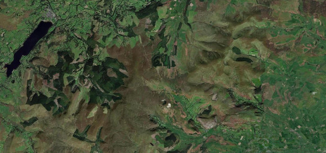
The Burway over the Long Mynd
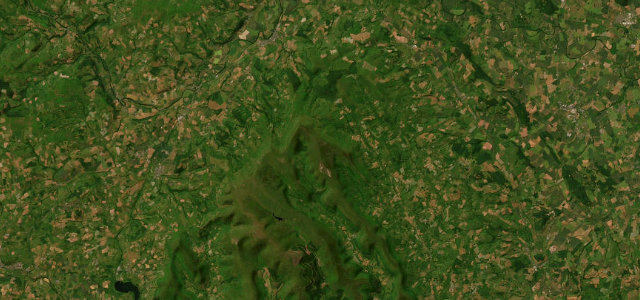
Church Stretton to Long Mynd plateau
Shropshire’s highest road, a single-track shelf onto the Long Mynd plateau.
The Burway climbs out of Church Stretton onto the Long Mynd, a narrow single-track shelf with a steep drop on one side and the hillside on the other as it works up to nearly 500 m and Shropshire’s highest public road. The exposure is real and the views over the Stretton valley are the draw. It is more nerve than pace, with passing places rather than corners to attack. Mind the unguarded drop with no barrier, oncoming cars on blind single-track sections, and free-roaming sheep and ponies on the open top.
Scenery
Best seasons
In these collections
In these guides
Where it runs1.7 mi · point to point
Navigate to the start: Apple Maps · Google Maps
Character
Steeper than 9 in 10 roads here in the catalogue.
Corners
busiest around mile 1Elevation
under 4%4–8%over 8%244.9 – 485.9 mPoints of interest2 stops
- Burway HillViewpoint0.3 mi in
- StanyeldViewpointat the start
Hazards
- Unguarded sheer drop
- Blind single-track meetings
- Sheep and ponies on the road
Sources
“From the top, you can take in fantastic views across Shropshire and beyond.”
Verified route: mapped from real road geometry and fact-checked by a human editor. How roads get checked
Driving the Burway over the Long Mynd: quick answers
How long does it take to drive the Burway over the Long Mynd?
How difficult is the Burway over the Long Mynd to drive?
When is the best time to drive the Burway over the Long Mynd?
Nearby roads
The closest great drives to The Burway over the Long Mynd.