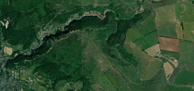
Surrey · United Kingdom
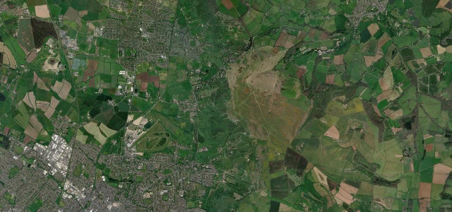
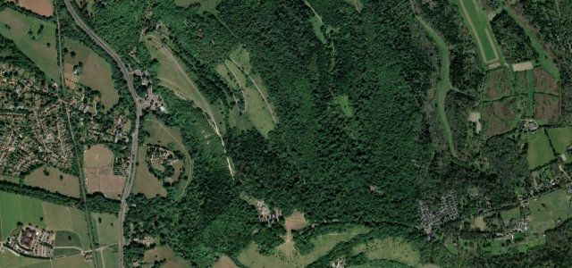
Box Hill Zig Zag Road
Westhumble to Box Hill summit
Surrey’s switchback climb, the 2012 Olympic road-race hill near Dorking.
The Zig Zag Road wriggles up the north face of Box Hill in a series of tight switchbacks above Dorking, a short but well-known Surrey Hills climb that featured repeatedly in the 2012 Olympic road races. It is more a cyclists' and Sunday-drivers' icon than a fast road, with a steady 120 m of ascent over a couple of kilometres and proper hairpins. Expect company. Mind the heavy bike and pedestrian traffic on summer weekends, tight blind hairpins, and the road’s winter ice closures on the shaded sections.
Where it runs2.2 mi · point to point
Navigate to the start: Apple Maps · Google Maps
Character
Corners
busiest around mile 1Elevation
under 4%4–8%over 8%54.1 – 199.4 mPoints of interest3 stops
- Box HillViewpoint1.7 mi in
- Lodge HillViewpoint1.0 mi in
- Flint HillViewpoint2.0 mi in
Hazards
- Dense cyclist traffic
- Blind hairpins
- Winter ice closures
- Heavy pedestrian traffic on summer weekends
See the typical season and live conditions for the high passes ›
Sources
“a wonderful piece of road engineering that twists and turns its way up a hill side”
Verified route: mapped from real road geometry and fact-checked by a human editor. How roads get checked
Driving the Box Hill Zig Zag Road: quick answers
How long does it take to drive the Box Hill Zig Zag Road?
How difficult is the Box Hill Zig Zag Road to drive?
When is the best time to drive the Box Hill Zig Zag Road?
Nearby roads
The closest great drives to Box Hill Zig Zag Road.