England · United Kingdom
Ashbourne to Buxton
A515Ashbourne to Buxton
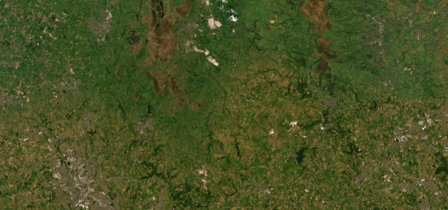
A high, open ridge road across the White Peak plateau.
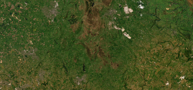
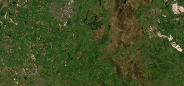
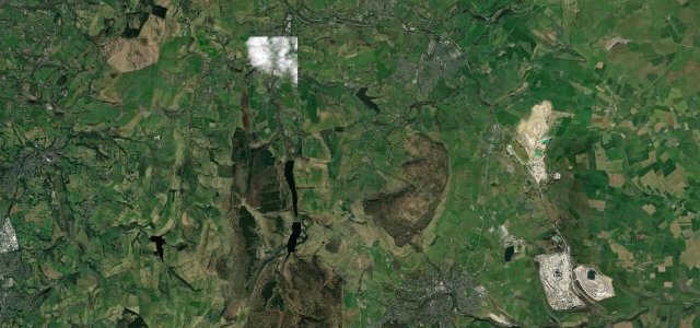
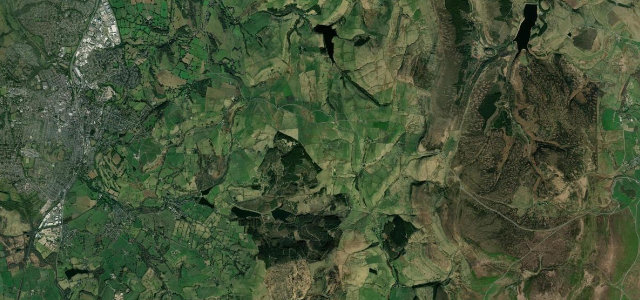
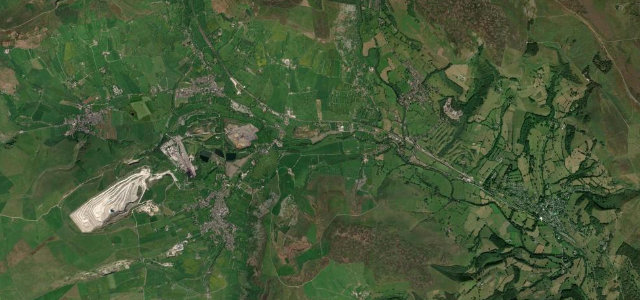
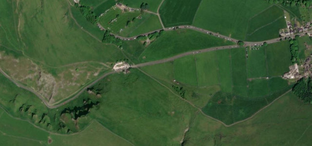
The A515 runs straight and high across the limestone plateau between Ashbourne and Buxton, with long views over the White Peak’s walled fields. The sightlines tempt speed, but blind dips, junctions and farm traffic mean it deserves respect.
Roads this unshowy rarely make anyone’s list, which is exactly why it’s on ours. Some roads are for passengers; this one is for drivers.
Why we picked it
Where it runs20.5 mi · point to point
AshbourneStart · England
BuxtonEnd · England
Navigate to the start: Apple Maps · Google Maps
Character
Corners12bends
Tightness3of 10
Max gradient7%≈ 1-in-14
Climb468 mtotal ascent
Summit399.8 mhighest point of the line · 1,312 ft
Corners
busiest around mile 1Elevation
under 4%4–8%over 8%123.1 – 399.8 mPoints of interest2 stops
- Lean LowViewpoint11 mi in
- Fox LowViewpoint19 mi in
Hazards
- Blind dips and crests
- Farm and quarry traffic
- Exposed to wind
Sources
“There are views, both left and right, of a vast network of drystone walls, extending to far horizons and broken only by occasional copses planted as shelter belts or as a cover for old lead rakes.”
Verified route: mapped from real road geometry and fact-checked by a human editor. How roads get checked
Driving the Ashbourne to Buxton: quick answers
How long does it take to drive the Ashbourne to Buxton?
Ashbourne to Buxton runs 20.5 miles (33 km) and takes about 38 min to drive without stops.
How difficult is the Ashbourne to Buxton to drive?
We rate it moderate: 12 corners, a maximum gradient of 7%, and a tightness of 3 out of 10.
When is the best time to drive the Ashbourne to Buxton?
Spring and Summer and Autumn are best.
Nearby roads
The closest great drives to Ashbourne to Buxton.
Ashbourne to Buxton
DirectionsGet the app